Mesa night lights from space
Night Light of Mesa (Arizona) from space (United States) Src. Average luminocity for 10x10km area is 93.8497% and for 50x50km: 66.9523%.
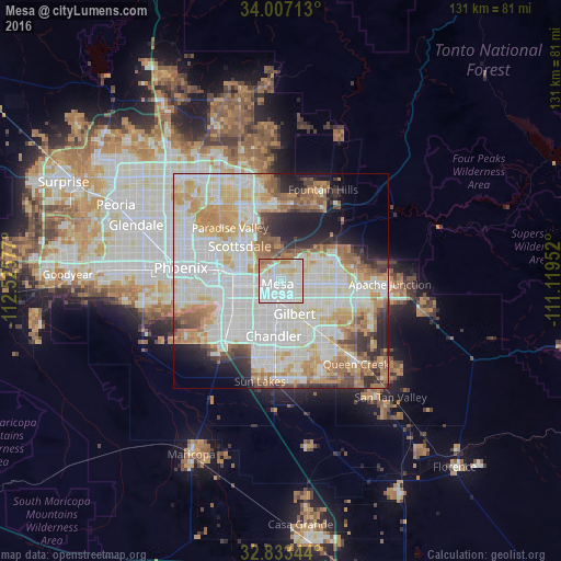
Analysis of Mesa night lights 2016
Square area 10x10 km:
 47.9%
47.9%90-99
33.74%80-89
6.12%70-79
2.27%60-69
8.92%50-59
1.05%40-49
0%30-39
0%20-29
0%10-19
0%0-9
0%Square area 50x50 km:
21.87%90-99
19.61%80-89
8.15%70-79
8.3%60-69
7.84%50-59
5.32%40-49
3.2%30-39
3.43%20-29
5.06%10-19
6.8%0-9
10.41%Clear (daylight) street map image can be seen on geolist.org.
Map coordinates:
34° 0' 25.7" North, 112° 31' 32.8" West
33° 25' 20.2" North, 111° 49' 21.5" West
32° 50' 0.4" North, 111° 7' 10.3" West
Some cities around Mesa sort by population:
• Chandler
13 km =8.1 mi,  187°
187°
• Gilbert
8.3 km =5.2 mi,  157°
157°
• Scottsdale
12 km =7.5 mi,  323°
323°
• Tempe
8.1 km =5 mi,  264°
264°
• Tempe Junction
11.3 km =7 mi,  265°
265°
• Ahwatukee Foothills
17.5 km =10.9 mi,  239°
239°
• Paradise Valley
16.4 km =10.2 mi, 317°
• Guadalupe
14.2 km =8.8 mi,  246°
246°
5304391 (p: 471,825)
Sources (retrieved 2019-11-25):
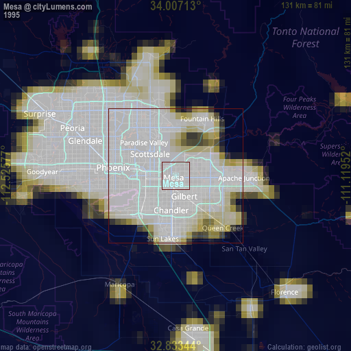
» NASA, Earths city lights 1995
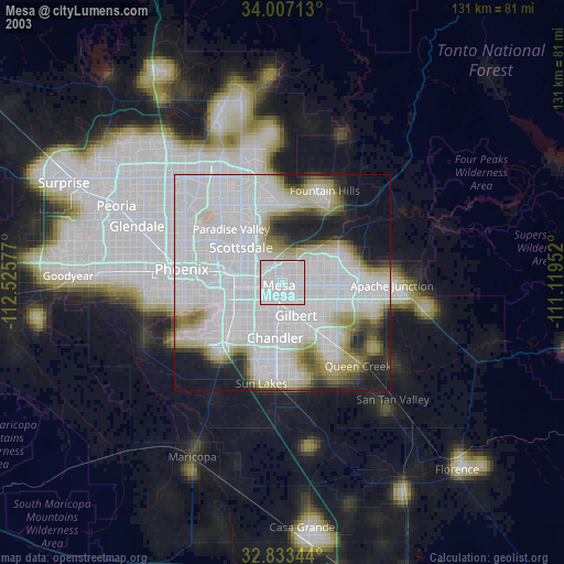
» NASA city lights 2003
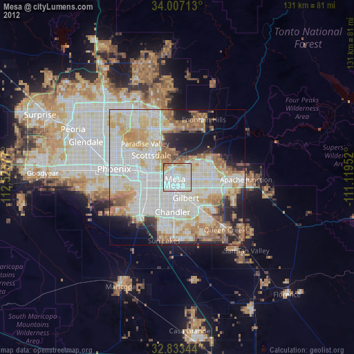
» Earth at Night: Flat Maps 2012, 2016