Gilbert night lights from space
Night Light of Gilbert (Arizona) from space (United States) Src. Average luminocity for 10x10km area is 97.2517% and for 50x50km: 58.2001%.
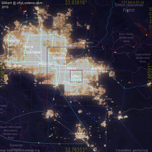
Analysis of Gilbert night lights 2016
Square area 10x10 km:
 43.53%
90-99
48.08%80-89
8.39%70-79
0%60-69
0%50-59
0%40-49
0%30-39
0%20-29
0%10-19
0%0-9
0%Square area 50x50 km:
18.33%90-99
17.02%80-89
5.83%70-79
7.17%60-69
7.18%50-59
4.68%40-49
3.21%30-39
3.43%20-29
6.27%10-19
9.72%0-9
17.16%Clear (daylight) street map image can be seen on geolist.org.
Map coordinates:
33° 56' 17.4" North, 112° 29' 31.8" West
33° 21' 10.2" North, 111° 47' 20.5" West
32° 45' 48.7" North, 111° 5' 9.3" West
Some cities around Gilbert sort by population:
• Mesa
8.3 km =5.2 mi,  337°
337°
• Chandler
7.1 km =4.4 mi,  223°
223°
• Tempe
13.1 km =8.1 mi,  301°
301°
• Tempe Junction
15.9 km =9.9 mi, 295°
• Ahwatukee Foothills
18.2 km =11.3 mi,  266°
266°
• Queen Creek
18.5 km =11.5 mi,  128°
128°
• Sun Lakes
17.7 km =11 mi,  207°
207°
• Guadalupe
16.3 km =10.1 mi,  277°
277°
5295903 (p: 247,542)
Sources (retrieved 2019-11-25):
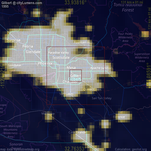
» NASA, Earths city lights 1995
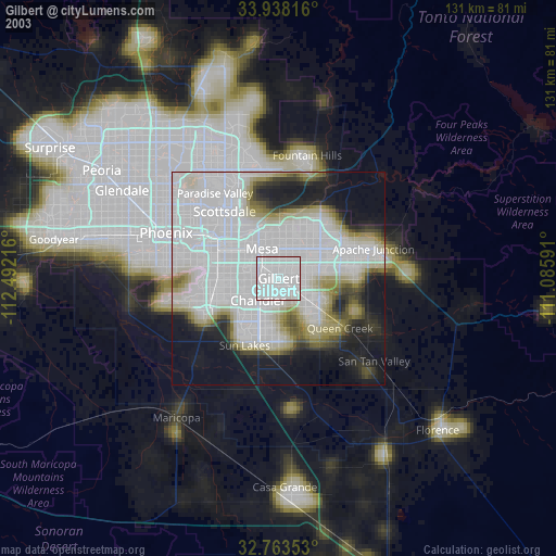
» NASA city lights 2003
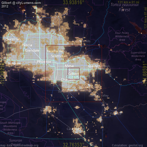
» Earth at Night: Flat Maps 2012, 2016