Marshall night lights from space
Night Light of Marshall (Texas) from space (United States) Src. Average luminocity for 10x10km area is 51.8234% and for 50x50km: 7.4712%.
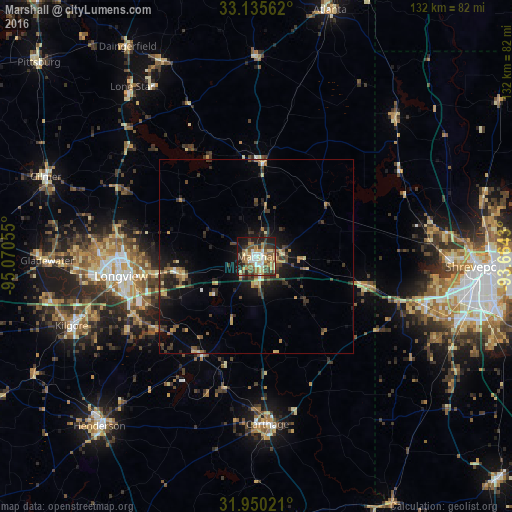
Analysis of Marshall night lights 2016
Square area 10x10 km:
 5.07%
5.07%90-99
8.39%80-89
10.84%70-79
6.82%60-69
9.27%50-59
13.81%40-49
6.29%30-39
7.34%20-29
12.59%10-19
18.01%0-9
1.57%Square area 50x50 km:
0.32%90-99
0.52%80-89
1.21%70-79
1.04%60-69
0.98%50-59
1.27%40-49
1.09%30-39
2.25%20-29
2.16%10-19
5.6%0-9
83.57%Clear (daylight) street map image can be seen on geolist.org.
Map coordinates:
33° 8' 8.2" North, 95° 4' 14" West
32° 32' 41.5" North, 94° 22' 2.7" West
31° 57' 0.8" North, 93° 39' 51.5" West
Some cities around Marshall sort by population:
• Shreveport
57.9 km =36 mi,  92°
92°
• Longview
35.3 km =21.9 mi,  262°
262°
• Kilgore
50.8 km =31.6 mi,  249°
249°
• Henderson
59.5 km =37 mi,  222°
222°
• Carthage
43.2 km =26.8 mi,  176°
176°
• Gladewater
53.9 km =33.5 mi,  269°
269°
• White Oak
46.3 km =28.8 mi, 267°
• Gilmer
57.6 km =35.8 mi,  290°
290°
4709272 (p: 23,820)
Sources (retrieved 2019-11-25):
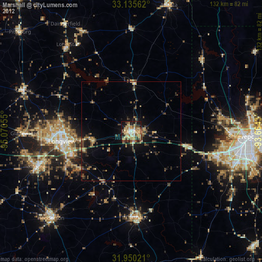
» Earth at Night: Flat Maps 2012, 2016