Garfield Heights night lights from space
Night Light of Garfield Heights (Ohio) from space (United States) Src. Average luminocity for 10x10km area is 92.5085% and for 50x50km: 56.4912%.
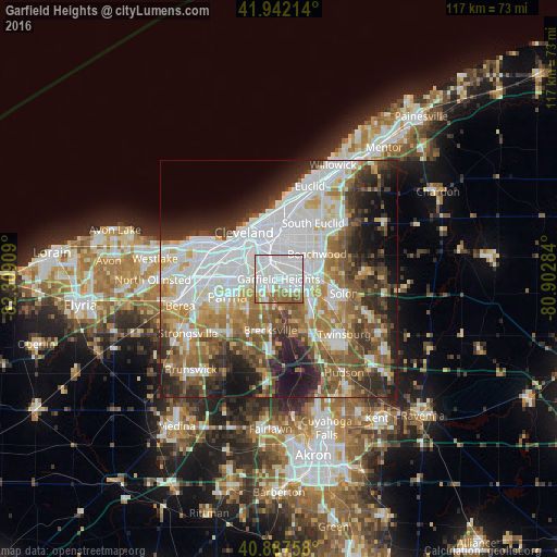
Analysis of Garfield Heights night lights 2016
Square area 10x10 km:
 52.38%
90-99
26.7%80-89
3.06%70-79
2.55%60-69
11.05%50-59
3.91%40-49
0.34%30-39
0%20-29
0%10-19
0%0-9
0%Square area 50x50 km:
18.22%90-99
12.09%80-89
4.71%70-79
5.45%60-69
8.15%50-59
7.62%40-49
6.79%30-39
6.72%20-29
8.97%10-19
9.33%0-9
11.94%Clear (daylight) street map image can be seen on geolist.org.
Map coordinates:
41° 56' 31.7" North, 82° 18' 32.7" West
41° 25' 1.2" North, 81° 36' 21.5" West
40° 53' 15.3" North, 80° 54' 10.2" West
Some cities around Garfield Heights sort by population:
• Shaker Heights
8.5 km =5.3 mi,  42°
42°
• Maple Heights
3.3 km =2.1 mi,  93°
93°
• Warrensville Heights
6.2 km =3.9 mi,  70°
70°
• Bedford
6.4 km =4 mi,  114°
114°
• Beachwood
9.7 km =6 mi,  56°
56°
• Seven Hills
6.3 km =3.9 mi,  247°
247°
• Bedford Heights
6.6 km =4.1 mi, 90°
• Independence
6 km =3.7 mi,  206°
206°
5155499 (p: 28,097)
Sources (retrieved 2019-11-25):
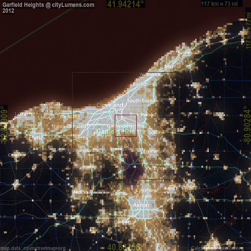
» Earth at Night: Flat Maps 2012, 2016