Livingston night lights from space
Night Light of Livingston (New Jersey) from space (United States) Src. Average luminocity for 10x10km area is 80.4253% and for 50x50km: 73.8469%.
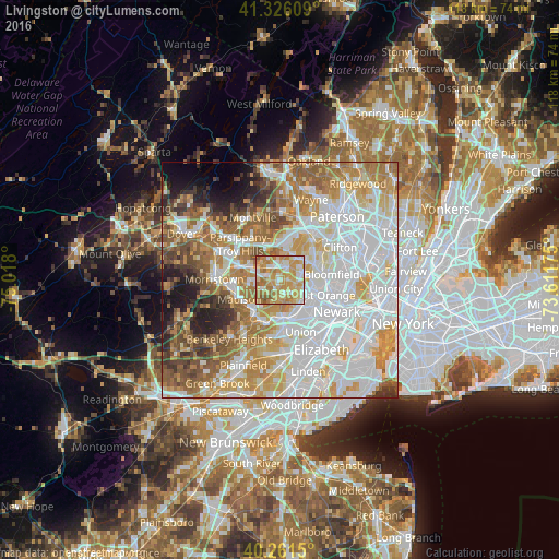
Analysis of Livingston night lights 2016
Square area 10x10 km:
 10.39%
90-99
17.53%80-89
19.81%70-79
30.03%60-69
17.86%50-59
3.9%40-49
0.49%30-39
0%20-29
0%10-19
0%0-9
0%Square area 50x50 km:
26.23%90-99
16.63%80-89
8.78%70-79
11.34%60-69
10.33%50-59
7.14%40-49
4.64%30-39
3.83%20-29
3.89%10-19
3.99%0-9
3.22%Clear (daylight) street map image can be seen on geolist.org.
Map coordinates:
41° 19' 33.9" North, 75° 1' 4.8" West
40° 47' 45.3" North, 74° 18' 53.5" West
40° 15' 41.4" North, 73° 36' 42.3" West
Some cities around Livingston sort by population:
• West Orange
6.4 km =4 mi,  87°
87°
• Short Hills
5.4 km =3.4 mi,  189°
189°
• Hanover
4.5 km =2.8 mi,  282°
282°
• East Hanover
5 km =3.1 mi,  302°
302°
• Florham Park
6.2 km =3.9 mi,  261°
261°
• Northfield
2.5 km =1.6 mi,  198°
198°
• Caldwell
5.8 km =3.6 mi,  33°
33°
• Roseland
3.3 km =2.1 mi, 32°
5100572 (p: 27,853)
Sources (retrieved 2019-11-25):
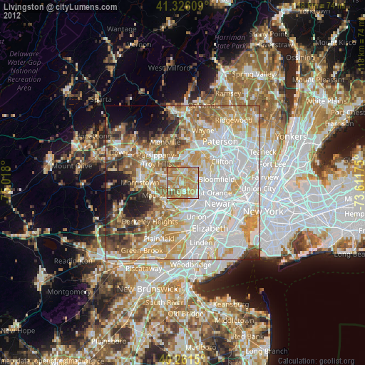
» Earth at Night: Flat Maps 2012, 2016