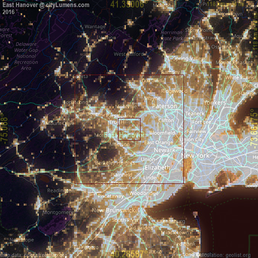
East Hanover night lights from space
Night Light of East Hanover (New Jersey) from space (United States) Src. Average luminocity for 10x10km area is 78.585% and for 50x50km: 66.6838%.
Analysis of East Hanover night lights 2016
Square area 10x10 km:
 17.35%
90-99
16.16%80-89
10.2%70-79
18.88%60-69
26.87%50-59
6.97%40-49
3.57%30-39
0%20-29
0%10-19
0%0-9
0%Square area 50x50 km:
21.75%90-99
13.62%80-89
7.54%70-79
10.14%60-69
10.47%50-59
8.01%40-49
5.78%30-39
4.59%20-29
5.43%10-19
6.51%0-9
6.17%Clear (daylight) street map image can be seen on geolist.org.
Map coordinates:
41° 21' 0.2" North, 75° 4' 4.8" West
40° 49' 12.4" North, 74° 21' 53.5" West
40° 17' 9.1" North, 73° 39' 42.3" West
Some cities around East Hanover sort by population:
• Parsippany
6.6 km =4.1 mi,  309°
309°
• Livingston
5 km =3.1 mi,  122°
122°
• Madison
8 km =5 mi,  213°
213°
• Hanover
1.7 km =1.1 mi,  185°
185°
• Florham Park
4.1 km =2.5 mi, 208°
• Northfield
6.1 km =3.8 mi,  146°
146°
• Caldwell
7.7 km =4.8 mi,  73°
73°
• Roseland
6 km =3.7 mi,  89°
89°
5097421 (p: 12,194)
Sources (retrieved 2019-11-25):
» Earth at Night: Flat Maps 2012, 2016