Lemon Grove night lights from space
Night Light of Lemon Grove (California) from space (United States) Src. Average luminocity for 10x10km area is 81.0524% and for 50x50km: 45.0327%.
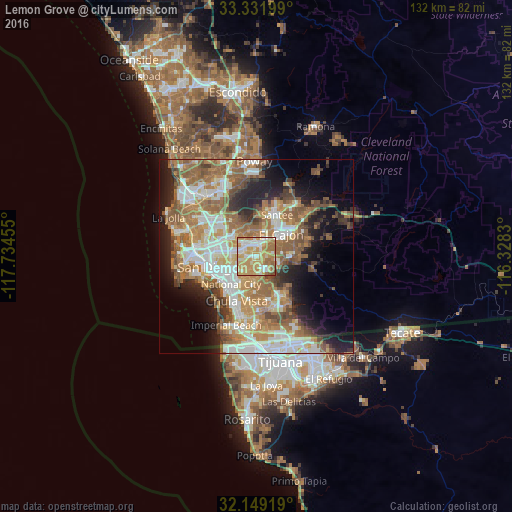
Analysis of Lemon Grove night lights 2016
Square area 10x10 km:
 14.51%
90-99
17.13%80-89
16.61%70-79
31.82%60-69
15.21%50-59
3.67%40-49
1.05%30-39
0%20-29
0%10-19
0%0-9
0%Square area 50x50 km:
8.51%90-99
8.97%80-89
4.33%70-79
6.75%60-69
11.68%50-59
8.45%40-49
5.01%30-39
3.36%20-29
6.28%10-19
10.4%0-9
26.27%Clear (daylight) street map image can be seen on geolist.org.
Map coordinates:
33° 19' 55.2" North, 117° 44' 4.4" West
32° 44' 33.2" North, 117° 1' 53.1" West
32° 8' 57.1" North, 116° 19' 41.9" West
Some cities around Lemon Grove sort by population:
• El Cajon
8.7 km =5.4 mi,  47°
47°
• National City
9.6 km =6 mi,  221°
221°
• La Mesa
2.9 km =1.8 mi,  15°
15°
• La Presa
5 km =3.1 mi,  140°
140°
• Spring Valley
3 km =1.9 mi,  85°
85°
• Rancho San Diego
9 km =5.6 mi, 86°
• Casa de Oro-Mount Helix
6.3 km =3.9 mi,  67°
67°
• Bonita
9.4 km =5.8 mi,  179°
179°
5365893 (p: 26,709)
Sources (retrieved 2019-11-25):
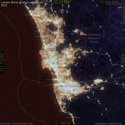
» Earth at Night: Flat Maps 2012, 2016