El Cajon night lights from space
Night Light of El Cajon (California) from space (United States) Src. Average luminocity for 10x10km area is 76.1049% and for 50x50km: 39.6282%.
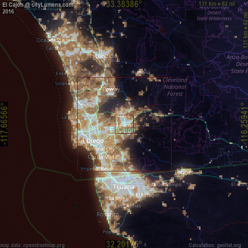
Analysis of El Cajon night lights 2016
Square area 10x10 km:
 14.69%
90-99
15.91%80-89
10.14%70-79
12.41%60-69
26.4%50-59
19.23%40-49
1.22%30-39
0%20-29
0%10-19
0%0-9
0%Square area 50x50 km:
6.6%90-99
7.09%80-89
3.83%70-79
6.08%60-69
11.66%50-59
8.2%40-49
5.14%30-39
3.33%20-29
4.71%10-19
7.76%0-9
35.6%Clear (daylight) street map image can be seen on geolist.org.
Map coordinates:
33° 23' 1.9" North, 117° 39' 56.4" West
32° 47' 41.2" North, 116° 57' 45.1" West
32° 12' 6.3" North, 116° 15' 33.9" West
Some cities around El Cajon sort by population:
• La Mesa
6.4 km =4 mi,  242°
242°
• Santee
5 km =3.1 mi,  347°
347°
• Spring Valley
6.5 km =4 mi,  211°
211°
• Rancho San Diego
5.9 km =3.7 mi,  154°
154°
• Lakeside
7.9 km =4.9 mi,  28°
28°
• Winter Gardens
4.9 km =3 mi, 33°
• Casa de Oro-Mount Helix
3.5 km =2.2 mi,  189°
189°
• Bostonia
2.8 km =1.7 mi,  59°
59°
5345529 (p: 103,679)
Sources (retrieved 2019-11-25):
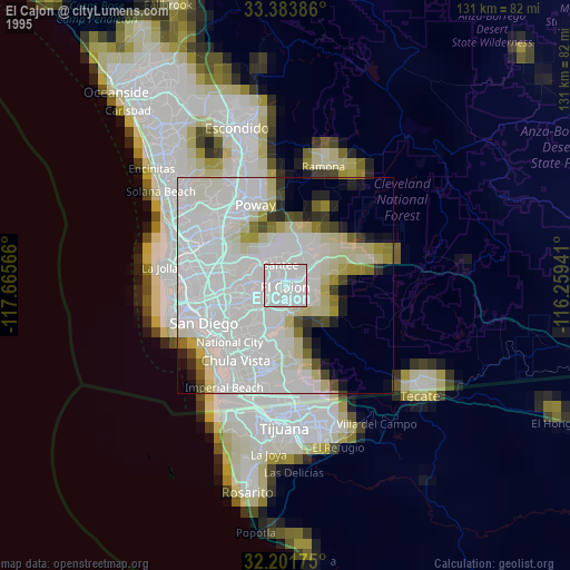
» NASA, Earths city lights 1995
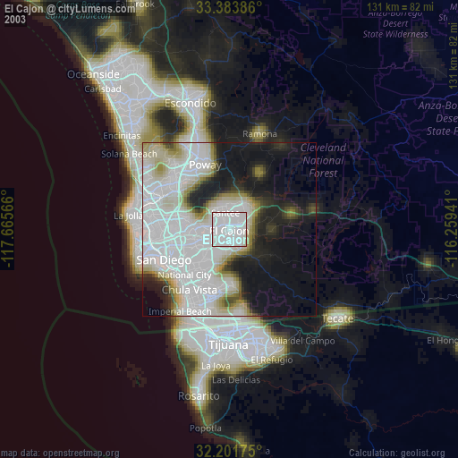
» NASA city lights 2003
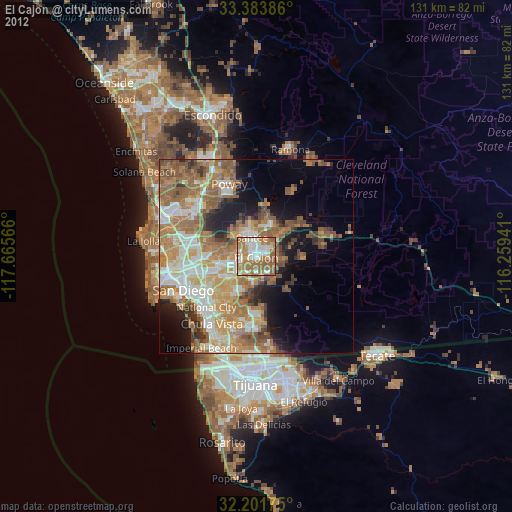
» Earth at Night: Flat Maps 2012, 2016