Lebanon night lights from space
Night Light of Lebanon (Pennsylvania) from space (United States) Src. Average luminocity for 10x10km area is 52.8963% and for 50x50km: 18.1765%.
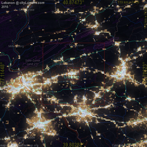
Analysis of Lebanon night lights 2016
Square area 10x10 km:
 8.67%
8.67%90-99
9.52%80-89
8.67%70-79
7.31%60-69
6.8%50-59
8.16%40-49
7.82%30-39
8.84%20-29
18.2%10-19
15.99%0-9
0%Square area 50x50 km:
1.26%90-99
2.09%80-89
2.8%70-79
2.68%60-69
1.76%50-59
2.23%40-49
2.78%30-39
3.75%20-29
6.63%10-19
18.18%0-9
55.83%Clear (daylight) street map image can be seen on geolist.org.
Map coordinates:
40° 52' 29" North, 77° 6' 52.1" West
40° 20' 27.3" North, 76° 24' 40.9" West
39° 48' 10.4" North, 75° 42' 29.6" West
Some cities around Lebanon sort by population:
• Hershey
21.2 km =13.2 mi,  253°
253°
• Ephrata
26.6 km =16.5 mi,  132°
132°
• Elizabethtown
26.5 km =16.5 mi,  217°
217°
• Lititz
22.3 km =13.9 mi,  156°
156°
• Middletown
31.3 km =19.4 mi,  239°
239°
• Mount Joy
26.9 km =16.7 mi,  196°
196°
• Palmyra
15.8 km =9.8 mi,  257°
257°
• Linglestown
32 km =19.9 mi,  268°
268°
5197517 (p: 25,534)
Sources (retrieved 2019-11-25):
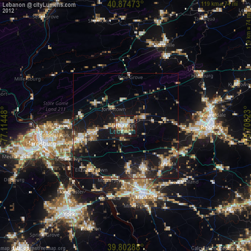
» Earth at Night: Flat Maps 2012, 2016