Lake Charles night lights from space
Night Light of Lake Charles (Louisiana) from space (United States) Src. Average luminocity for 10x10km area is 90.1503% and for 50x50km: 21.3935%.
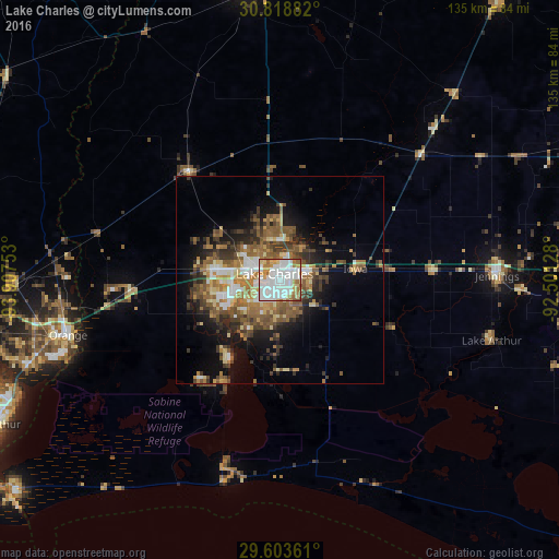
Analysis of Lake Charles night lights 2016
Square area 10x10 km:
 37.41%
90-99
30.77%80-89
8.74%70-79
8.04%60-69
10.49%50-59
3.67%40-49
0.87%30-39
0%20-29
0%10-19
0%0-9
0%Square area 50x50 km:
3.15%90-99
3.06%80-89
2.53%70-79
2.59%60-69
3.84%50-59
5.14%40-49
3.17%30-39
3.88%20-29
3.9%10-19
8.83%0-9
59.91%Clear (daylight) street map image can be seen on geolist.org.
Map coordinates:
30° 49' 7.8" North, 93° 54' 27.1" West
30° 12' 47.1" North, 93° 12' 15.8" West
29° 36' 13" North, 92° 30' 4.6" West
Some cities around Lake Charles sort by population:
• Sulphur
16.8 km =10.4 mi,  278°
278°
• Orange
52.9 km =32.9 mi,  255°
255°
• Groves
74.6 km =46.4 mi,  246°
246°
• Moss Bluff
10.1 km =6.3 mi,  7°
7°
• DeRidder
70.9 km =44.1 mi,  353°
353°
• Jennings
52.6 km =32.7 mi,  88°
88°
• Bridge City
65.3 km =40.6 mi, 250°
• Prien
7.5 km =4.7 mi,  242°
242°
4330236 (p: 76,070)
Sources (retrieved 2019-11-25):
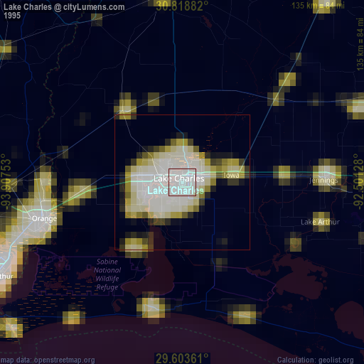
» NASA, Earths city lights 1995
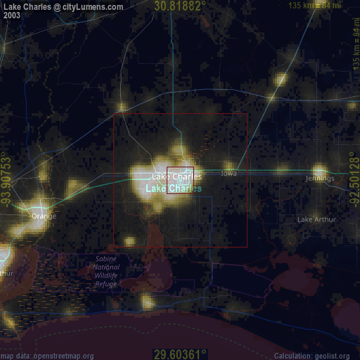
» NASA city lights 2003
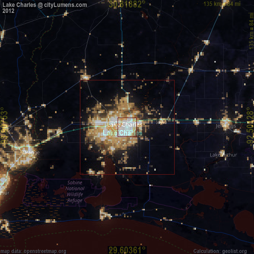
» Earth at Night: Flat Maps 2012, 2016