Kosciusko night lights from space
Night Light of Kosciusko (Mississippi) from space (United States) Src. Average luminocity for 10x10km area is 31.8388% and for 50x50km: 2.0608%.
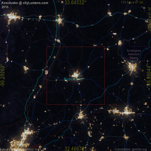
Analysis of Kosciusko night lights 2016
Square area 10x10 km:
 4.21%
4.21%90-99
4.21%80-89
5.13%70-79
4.03%60-69
4.03%50-59
4.21%40-49
2.38%30-39
8.06%20-29
5.86%10-19
34.62%0-9
23.26%Square area 50x50 km:
0.17%90-99
0.19%80-89
0.33%70-79
0.25%60-69
0.16%50-59
0.23%40-49
0.21%30-39
0.79%20-29
0.47%10-19
1.58%0-9
95.62%Clear (daylight) street map image can be seen on geolist.org.
Map coordinates:
33° 38' 43.2" North, 90° 17' 33.7" West
33° 3' 28.8" North, 89° 35' 22.4" West
32° 28' 0.2" North, 88° 53' 11.2" West
Some cities around Kosciusko sort by population:
• Madison
82.5 km =51.3 mi,  216°
216°
• Greenwood
74.9 km =46.5 mi,  312°
312°
• Canton
64.8 km =40.3 mi, 220°
• Grenada
81.6 km =50.7 mi,  345°
345°
• Yazoo City
79.4 km =49.3 mi,  253°
253°
• Philadelphia
54.4 km =33.8 mi,  125°
125°
• Louisville
50.3 km =31.3 mi,  81°
81°
• Forest
77.9 km =48.4 mi,  172°
172°
4432542 (p: 7,187)
Sources (retrieved 2019-11-25):
» Earth at Night: Flat Maps 2012, 2016