Gatesville night lights from space
Night Light of Gatesville (Texas) from space (United States) Src. Average luminocity for 10x10km area is 30.3689% and for 50x50km: 1.9646%.
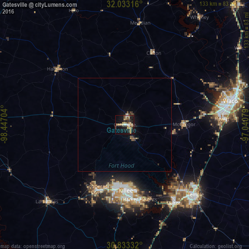
Analysis of Gatesville night lights 2016
Square area 10x10 km:
 2.45%
2.45%90-99
1.75%80-89
8.74%70-79
4.9%60-69
3.5%50-59
2.62%40-49
3.5%30-39
6.29%20-29
9.79%10-19
30.42%0-9
26.05%Square area 50x50 km:
0.12%90-99
0.09%80-89
0.43%70-79
0.26%60-69
0.18%50-59
0.27%40-49
0.32%30-39
0.38%20-29
0.51%10-19
1.73%0-9
95.7%Clear (daylight) street map image can be seen on geolist.org.
Map coordinates:
32° 1' 59.4" North, 98° 26' 49.3" West
31° 26' 6.6" North, 97° 44' 38.1" West
30° 49' 60" North, 97° 2' 26.8" West
Some cities around Gatesville sort by population:
• Killeen
35.4 km =22 mi,  177°
177°
• Copperas Cove
37.8 km =23.5 mi,  203°
203°
• Fort Hood
33.5 km =20.8 mi,  185°
185°
• Harker Heights
39.9 km =24.8 mi,  168°
168°
• Belton
49.8 km =30.9 mi,  147°
147°
• Hewitt
52.1 km =32.4 mi,  86°
86°
• Woodway
51.7 km =32.1 mi,  81°
81°
• McGregor
31.8 km =19.8 mi, 88°
4693150 (p: 15,724)
Sources (retrieved 2019-11-25):
» Earth at Night: Flat Maps 2012, 2016