Temple night lights from space
Night Light of Temple (Texas) from space (United States) Src. Average luminocity for 10x10km area is 67.0073% and for 50x50km: 10.0578%.
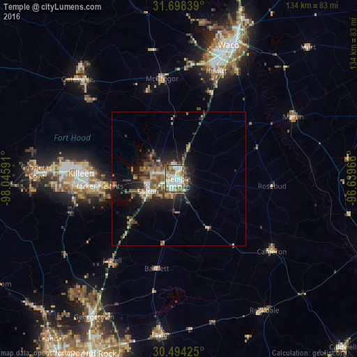
Analysis of Temple night lights 2016
Square area 10x10 km:
 17.22%
90-99
18.13%80-89
9.34%70-79
4.03%60-69
10.44%50-59
13.37%40-49
3.66%30-39
8.06%20-29
4.95%10-19
10.81%0-9
0%Square area 50x50 km:
1.16%90-99
1.16%80-89
1.17%70-79
1.06%60-69
1.74%50-59
2.23%40-49
1.92%30-39
2.08%20-29
2.45%10-19
5.78%0-9
79.26%Clear (daylight) street map image can be seen on geolist.org.
Map coordinates:
31° 41' 54.2" North, 98° 2' 45.3" West
31° 5' 53.6" North, 97° 20' 34" West
30° 29' 39.3" North, 96° 38' 22.8" West
Some cities around Temple sort by population:
• Killeen
36.7 km =22.8 mi,  273°
273°
• Fort Hood
41.4 km =25.7 mi,  275°
275°
• Harker Heights
30.2 km =18.8 mi, 266°
• Belton
12.5 km =7.8 mi,  247°
247°
• Hewitt
42.8 km =26.6 mi,  19°
19°
• Robinson
46.4 km =28.8 mi,  27°
27°
• Cameron
44.3 km =27.5 mi,  127°
127°
• McGregor
39 km =24.2 mi,  350°
350°
4735966 (p: 72,277)
Sources (retrieved 2019-11-25):
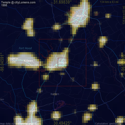
» NASA, Earths city lights 1995
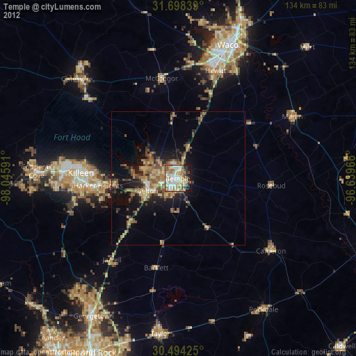
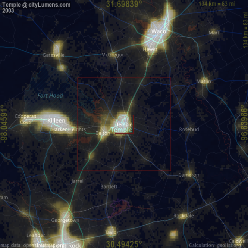
» NASA city lights 2003
» Earth at Night: Flat Maps 2012, 2016