Keystone night lights from space
Night Light of Keystone (Florida) from space (United States) Src. Average luminocity for 10x10km area is 60.6004% and for 50x50km: 56.9733%.
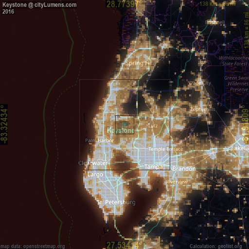
Analysis of Keystone night lights 2016
Square area 10x10 km:
 3.6%
3.6%90-99
5.11%80-89
4.92%70-79
4.55%60-69
31.82%50-59
21.4%40-49
23.67%30-39
4.92%20-29
0%10-19
0%0-9
0%Square area 50x50 km:
15.38%90-99
12%80-89
6.19%70-79
8.27%60-69
14.47%50-59
5.57%40-49
4.11%30-39
3.42%20-29
7%10-19
8.03%0-9
15.56%Clear (daylight) street map image can be seen on geolist.org.
Map coordinates:
28° 46' 26.3" North, 83° 19' 27.6" West
28° 9' 21.1" North, 82° 37' 16.4" West
27° 32' 2.9" North, 81° 55' 5.1" West
Some cities around Keystone sort by population:
• East Lake
8.8 km =5.5 mi,  235°
235°
• Citrus Park
10 km =6.2 mi,  149°
149°
• Greater Northdale
10.9 km =6.8 mi,  120°
120°
• Westchase
11.3 km =7 mi,  174°
174°
• Elfers
12 km =7.5 mi,  304°
304°
• Trinity
6.6 km =4.1 mi, 295°
• Cheval
10.5 km =6.5 mi,  94°
94°
• Odessa
5.1 km =3.2 mi,  34°
34°
4160822 (p: 24,039)
Sources (retrieved 2019-11-25):
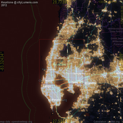
» Earth at Night: Flat Maps 2012, 2016