Alamar night lights from space
Night Light of Alamar (Havana) from space (Cuba) Src. Average luminocity for 10x10km area is 57.4981% and for 50x50km: 25.5251%.
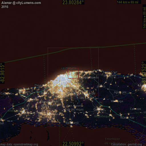
Analysis of Alamar night lights 2016
Square area 10x10 km:
 7.77%
7.77%90-99
10.8%80-89
8.33%70-79
19.7%60-69
8.14%50-59
5.68%40-49
5.68%30-39
2.65%20-29
11.74%10-19
19.13%0-9
0.38%Square area 50x50 km:
3.72%90-99
3.81%80-89
2.83%70-79
8.23%60-69
3.43%50-59
2.89%40-49
3.4%30-39
3.56%20-29
5.5%10-19
7.89%0-9
54.73%Clear (daylight) street map image can be seen on geolist.org.
Map coordinates:
23° 48' 10.2" North, 82° 58' 53.4" West
23° 9' 28.6" North, 82° 16' 42.1" West
22° 30' 35.7" North, 81° 34' 30.9" West
Some cities around Alamar sort by population:
• Havana
11.1 km =6.9 mi,  255°
255°
• Diez de Octubre
11.4 km =7.1 mi,  226°
226°
• Habana del Este
5.3 km =3.3 mi,  271°
271°
• San Miguel del Padrón
10.3 km =6.4 mi,  189°
189°
• Centro Habana
9 km =5.6 mi, 256°
• Guanabacoa
4.5 km =2.8 mi,  211°
211°
• La Habana Vieja
8.2 km =5.1 mi,  248°
248°
• Regla
6.6 km =4.1 mi,  236°
236°
3569370 (p: 100,000)
Sources (retrieved 2019-11-25):
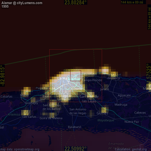
» NASA, Earths city lights 1995
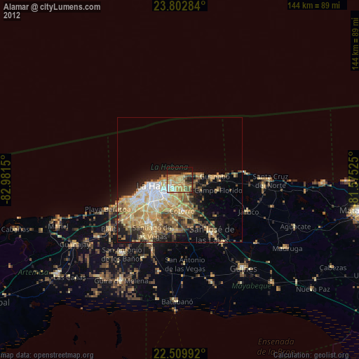
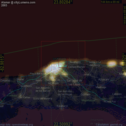
» NASA city lights 2003
» Earth at Night: Flat Maps 2012, 2016