Kent night lights from space
Night Light of Kent (Ohio) from space (United States) Src. Average luminocity for 10x10km area is 56.0097% and for 50x50km: 37.9289%.
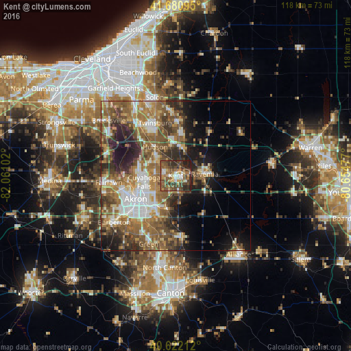
Analysis of Kent night lights 2016
Square area 10x10 km:
 5.68%
5.68%90-99
7.14%80-89
5.52%70-79
8.77%60-69
13.47%50-59
12.82%40-49
19.48%30-39
13.15%20-29
12.99%10-19
0.97%0-9
0%Square area 50x50 km:
5.45%90-99
6.37%80-89
3.7%70-79
4.51%60-69
8.63%50-59
9.29%40-49
7.59%30-39
5.6%20-29
7.63%10-19
9.43%0-9
31.8%Clear (daylight) street map image can be seen on geolist.org.
Map coordinates:
41° 40' 51.4" North, 82° 3' 39.7" West
41° 9' 13.2" North, 81° 21' 28.4" West
40° 37' 19.6" North, 80° 39' 17.2" West
Some cities around Kent sort by population:
• Akron
15.7 km =9.8 mi,  239°
239°
• Cuyahoga Falls
10.8 km =6.7 mi,  258°
258°
• Stow
6.9 km =4.3 mi,  275°
275°
• Hudson
11.8 km =7.3 mi,  324°
324°
• Tallmadge
9.1 km =5.7 mi,  230°
230°
• Streetsboro
9.6 km =6 mi,  6°
6°
• Ravenna
9.7 km =6 mi,  87°
87°
• Munroe Falls
6.9 km =4.3 mi, 261°
5159537 (p: 29,810)
Sources (retrieved 2019-11-25):
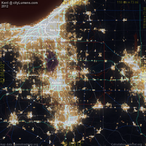
» Earth at Night: Flat Maps 2012, 2016