Hudson night lights from space
Night Light of Hudson (Ohio) from space (United States) Src. Average luminocity for 10x10km area is 59.0325% and for 50x50km: 47.4967%.
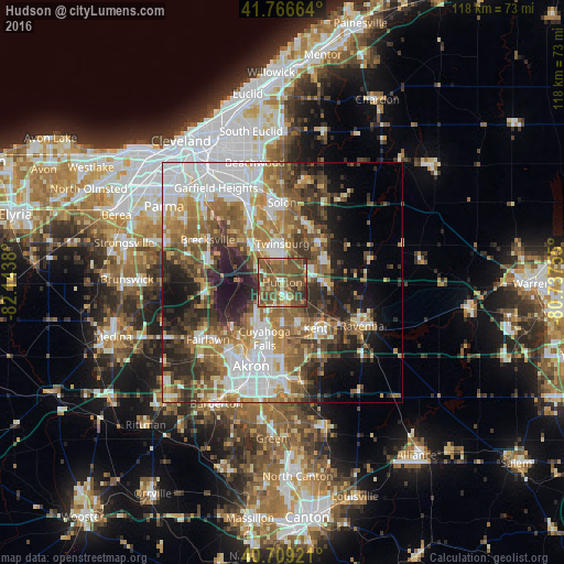
Analysis of Hudson night lights 2016
Square area 10x10 km:
 3.25%
3.25%90-99
6.98%80-89
5.03%70-79
6.82%60-69
13.64%50-59
34.74%40-49
20.78%30-39
7.63%20-29
1.14%10-19
0%0-9
0%Square area 50x50 km:
10.11%90-99
9.16%80-89
4.31%70-79
5.52%60-69
9.41%50-59
8.75%40-49
7.84%30-39
6.47%20-29
9.18%10-19
9.82%0-9
19.43%Clear (daylight) street map image can be seen on geolist.org.
Map coordinates:
41° 45' 59.9" North, 82° 8' 37.7" West
41° 14' 24.2" North, 81° 26' 26.4" West
40° 42' 33.2" North, 80° 44' 15.2" West
Some cities around Hudson sort by population:
• Cuyahoga Falls
12.4 km =7.7 mi,  197°
197°
• Stow
9 km =5.6 mi,  179°
179°
• Kent
11.8 km =7.3 mi,  144°
144°
• Twinsburg
8.1 km =5 mi,  0°
0°
• Streetsboro
7.9 km =4.9 mi,  90°
90°
• Aurora
11.7 km =7.3 mi,  42°
42°
• Macedonia
10 km =6.2 mi,  325°
325°
• Munroe Falls
10.6 km =6.6 mi, 179°
5158164 (p: 22,437)
Sources (retrieved 2019-11-25):
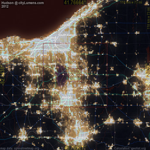
» Earth at Night: Flat Maps 2012, 2016