Kalaoa night lights from space
Night Light of Kalaoa (Hawaii) from space (United States) Src. Average luminocity for 10x10km area is 5.9793% and for 50x50km: 1.9461%.
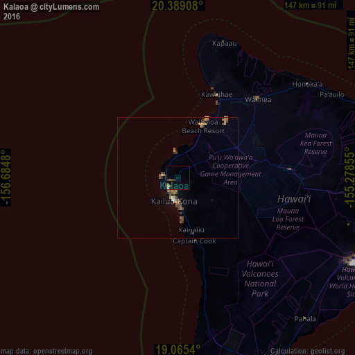
Analysis of Kalaoa night lights 2016
Square area 10x10 km:
 0%
0%90-99
0%80-89
0%70-79
1.65%60-69
0%50-59
0.83%40-49
3.1%30-39
1.65%20-29
1.03%10-19
2.27%0-9
89.46%Square area 50x50 km:
0.06%90-99
0.07%80-89
0.07%70-79
0.5%60-69
0.32%50-59
0.4%40-49
0.66%30-39
0.45%20-29
0.24%10-19
0.44%0-9
96.8%Clear (daylight) street map image can be seen on geolist.org.
Map coordinates:
20° 23' 20.7" North, 156° 41' 5.3" West
19° 43' 43" North, 155° 58' 54" West
19° 3' 55.4" North, 155° 16' 42.8" West
Some cities around Kalaoa sort by population:
• Hilo
93.2 km =57.9 mi,  89°
89°
• Kīhei
125 km =77.7 mi,  337°
337°
• Kailua-Kona
10 km =6.2 mi,  190°
190°
• Hawaiian Paradise Park
106.7 km =66.3 mi,  98°
98°
• Waimea
46 km =28.6 mi,  44°
44°
• Hōlualoa
12.6 km =7.8 mi,  163°
163°
• Kula
123.5 km =76.7 mi, 343°
• Wailea
117.2 km =72.8 mi, 335°
5847746 (p: 9,644)
Sources (retrieved 2019-11-25):
» Earth at Night: Flat Maps 2012, 2016