Wailea night lights from space
Night Light of Wailea (Hawaii) from space (United States) Src. Average luminocity for 10x10km area is 14.6591% and for 50x50km: 4.0503%.
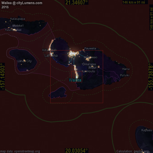
Analysis of Wailea night lights 2016
Square area 10x10 km:
 0.76%
0.76%90-99
1.33%80-89
3.6%70-79
3.03%60-69
2.08%50-59
0.57%40-49
0%30-39
2.84%20-29
3.03%10-19
9.47%0-9
73.3%Square area 50x50 km:
0.38%90-99
0.56%80-89
0.36%70-79
0.78%60-69
0.52%50-59
0.48%40-49
0.76%30-39
0.49%20-29
0.61%10-19
2.66%0-9
92.39%Clear (daylight) street map image can be seen on geolist.org.
Map coordinates:
21° 20' 45.9" North, 157° 8' 42.1" West
20° 41' 23" North, 156° 26' 30.8" West
20° 1' 49.9" North, 155° 44' 19.6" West
Some cities around Wailea sort by population:
• Kahului
22.5 km =14 mi,  351°
351°
• Kīhei
8.3 km =5.2 mi,  357°
357°
• Wailuku
23.4 km =14.5 mi,  343°
343°
• Waihee-Waiehu
27.5 km =17.1 mi, 346°
• Haiku-Pauwela
29.5 km =18.3 mi,  28°
28°
• Pukalani
19.7 km =12.2 mi, 33°
• Makawao
22.9 km =14.2 mi,  35°
35°
• Kula
16.4 km =10.2 mi,  46°
46°
5854450 (p: 5,938)
Sources (retrieved 2019-11-25):
» Earth at Night: Flat Maps 2012, 2016