Hawaiian Paradise Park night lights from space
Night Light of Hawaiian Paradise Park (Hawaii) from space (United States) Src. Average luminocity for 10x10km area is 0.0145% and for 50x50km: 1.2923%.
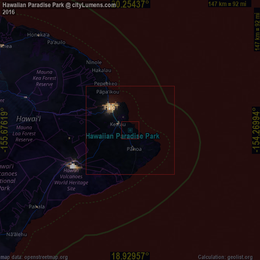
Analysis of Hawaiian Paradise Park night lights 2016
Square area 10x10 km:
 0%
0%90-99
0%80-89
0%70-79
0%60-69
0%50-59
0%40-49
0%30-39
0%20-29
0%10-19
0%0-9
100%Square area 50x50 km:
0.02%90-99
0.03%80-89
0.11%70-79
0.37%60-69
0.19%50-59
0.19%40-49
0.35%30-39
0.28%20-29
0.28%10-19
0.74%0-9
97.44%Clear (daylight) street map image can be seen on geolist.org.
Map coordinates:
20° 15' 15.7" North, 155° 40' 34.3" West
19° 35' 36" North, 154° 58' 23" West
18° 55' 46.5" North, 154° 16' 11.8" West
Some cities around Hawaiian Paradise Park sort by population:
• Hilo
19.6 km =12.2 mi,  320°
320°
• Kailua-Kona
107.6 km =66.9 mi,  272°
272°
• Kalaoa
106.7 km =66.3 mi,  278°
278°
• Waimea
87.4 km =54.3 mi,  303°
303°
• Hōlualoa
102.2 km =63.5 mi, 271°
• Makawao
198.2 km =123.2 mi, 315°
• Kula
194.1 km =120.6 mi,  313°
313°
• Wailea
195.9 km =121.7 mi, 308°
5855809 (p: 11,404)
Sources (retrieved 2019-11-25):
» Earth at Night: Flat Maps 2012, 2016