Hilo night lights from space
Night Light of Hilo (Hawaii) from space (United States) Src. Average luminocity for 10x10km area is 23.7955% and for 50x50km: 1.3047%.
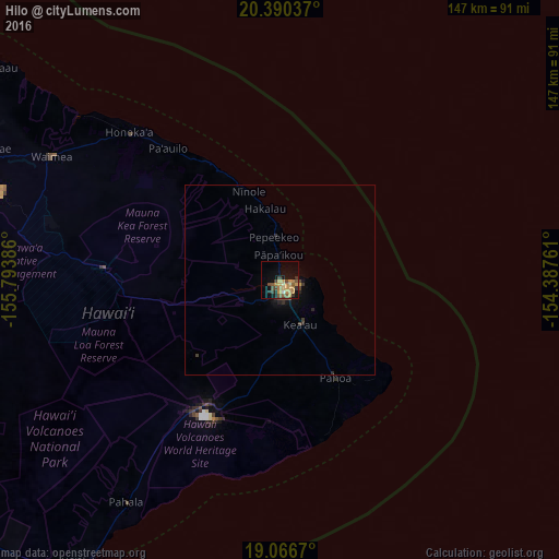
Analysis of Hilo night lights 2016
Square area 10x10 km:
 0.41%
0.41%90-99
0.83%80-89
2.69%70-79
8.47%60-69
4.96%50-59
4.55%40-49
6.4%30-39
3.51%20-29
2.48%10-19
11.98%0-9
53.72%Square area 50x50 km:
0.02%90-99
0.03%80-89
0.11%70-79
0.37%60-69
0.19%50-59
0.19%40-49
0.35%30-39
0.31%20-29
0.28%10-19
0.72%0-9
97.43%Clear (daylight) street map image can be seen on geolist.org.
Map coordinates:
20° 23' 25.3" North, 155° 47' 37.9" West
19° 43' 47.7" North, 155° 5' 26.6" West
19° 4' 0.1" North, 154° 23' 15.4" West
Some cities around Hilo sort by population:
• Kailua-Kona
95.6 km =59.4 mi,  264°
264°
• Hawaiian Paradise Park
19.6 km =12.2 mi,  140°
140°
• Kalaoa
93.2 km =57.9 mi,  269°
269°
• Waimea
69.1 km =42.9 mi,  298°
298°
• Hōlualoa
90.6 km =56.3 mi, 262°
• Makawao
178.8 km =111.1 mi,  314°
314°
• Kula
174.8 km =108.6 mi, 312°
• Wailea
176.8 km =109.9 mi, 307°
5855927 (p: 43,263)
Sources (retrieved 2019-11-25):
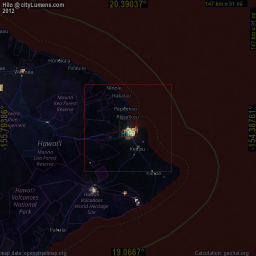
» Earth at Night: Flat Maps 2012, 2016