Kalamazoo night lights from space
Night Light of Kalamazoo (Michigan) from space (United States) Src. Average luminocity for 10x10km area is 75.8136% and for 50x50km: 11.0232%.
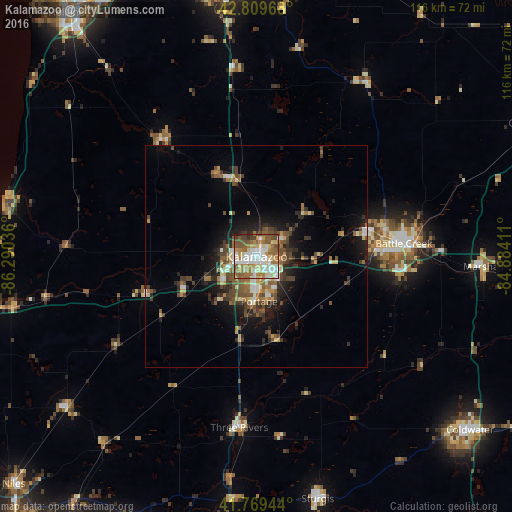
Analysis of Kalamazoo night lights 2016
Square area 10x10 km:
 18.79%
90-99
17.88%80-89
11.21%70-79
9.09%60-69
16.06%50-59
15.15%40-49
7.42%30-39
3.03%20-29
1.21%10-19
0.15%0-9
0%Square area 50x50 km:
1.29%90-99
1.52%80-89
1.08%70-79
1.15%60-69
1.97%50-59
2.07%40-49
2.31%30-39
1.84%20-29
2.67%10-19
5.57%0-9
78.53%Clear (daylight) street map image can be seen on geolist.org.
Map coordinates:
42° 48' 34.8" North, 86° 17' 25.3" West
42° 17' 30.2" North, 85° 35' 14" West
41° 46' 10" North, 84° 53' 2.8" West
Some cities around Kalamazoo sort by population:
• Battle Creek
33.8 km =21 mi,  85°
85°
• Portage
10.1 km =6.3 mi,  176°
176°
• Westwood
4 km =2.5 mi,  287°
287°
• Three Rivers
38.8 km =24.1 mi,  185°
185°
• Eastwood
3.3 km =2.1 mi,  67°
67°
• Comstock Northwest
6.6 km =4.1 mi,  59°
59°
• Springfield
28.9 km =18 mi,  82°
82°
• Allegan
34.4 km =21.4 mi,  320°
320°
4997787 (p: 76,041)
Sources (retrieved 2019-11-25):
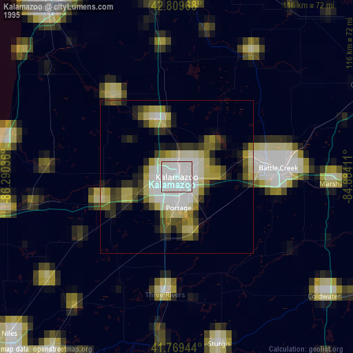
» NASA, Earths city lights 1995
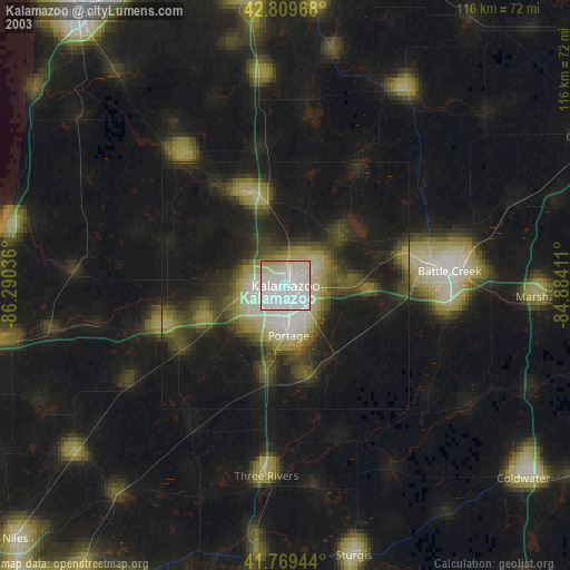
» NASA city lights 2003
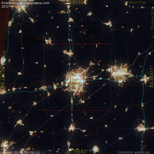
» Earth at Night: Flat Maps 2012, 2016