Jeffersontown night lights from space
Night Light of Jeffersontown (Kentucky) from space (United States) Src. Average luminocity for 10x10km area is 84.4439% and for 50x50km: 46.6966%.
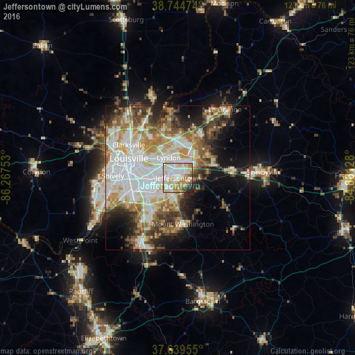
Analysis of Jeffersontown night lights 2016
Square area 10x10 km:
 26.7%
26.7%90-99
25.85%80-89
17.35%70-79
10.71%60-69
9.52%50-59
2.55%40-49
1.87%30-39
2.04%20-29
3.4%10-19
0%0-9
0%Square area 50x50 km:
12.52%90-99
10.56%80-89
6.19%70-79
5.93%60-69
5.96%50-59
5.12%40-49
5.05%30-39
5.71%20-29
6.24%10-19
9.39%0-9
27.33%Clear (daylight) street map image can be seen on geolist.org.
Map coordinates:
38° 44' 41.1" North, 86° 16' 3.1" West
38° 11' 39.3" North, 85° 33' 51.8" West
37° 38' 22.4" North, 84° 51' 40.6" West
Some cities around Jeffersontown sort by population:
• Newburg
9.2 km =5.7 mi,  245°
245°
• Fern Creek
4.3 km =2.7 mi,  208°
208°
• Saint Matthews
10.3 km =6.4 mi,  309°
309°
• Highview
7.7 km =4.8 mi,  222°
222°
• Lyndon
7.7 km =4.8 mi,  334°
334°
• Middletown
6.1 km =3.8 mi,  21°
21°
• Buechel
7.6 km =4.7 mi,  270°
270°
• Douglass Hills
5 km =3.1 mi,  11°
11°
4296218 (p: 26,946)
Sources (retrieved 2019-11-25):
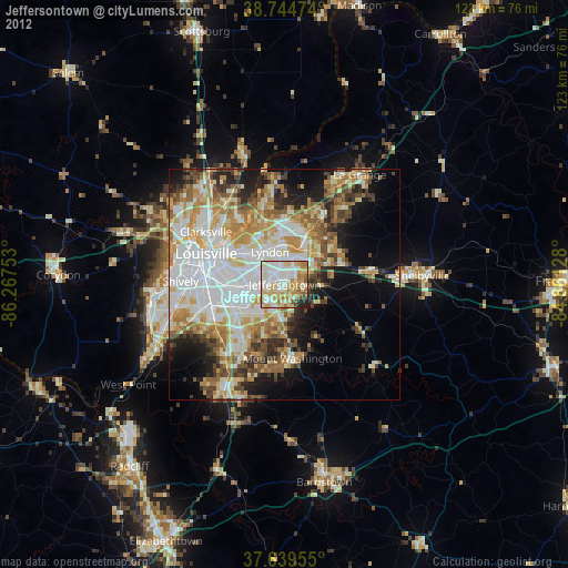
» Earth at Night: Flat Maps 2012, 2016