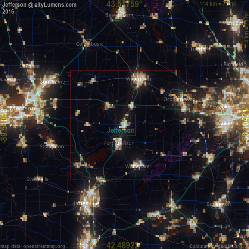
Jefferson night lights from space
Night Light of Jefferson (Wisconsin) from space (United States) Src. Average luminocity for 10x10km area is 18.8111% and for 50x50km: 7.1144%.
Analysis of Jefferson night lights 2016
Square area 10x10 km:
 1.11%
1.11%90-99
2.06%80-89
4.44%70-79
2.86%60-69
1.43%50-59
1.43%40-49
2.7%30-39
0.48%20-29
1.43%10-19
29.05%0-9
53.02%Square area 50x50 km:
0.42%90-99
0.68%80-89
1.44%70-79
0.79%60-69
0.97%50-59
0.99%40-49
1.06%30-39
0.86%20-29
1.07%10-19
5.21%0-9
86.51%Clear (daylight) street map image can be seen on geolist.org.
Map coordinates:
43° 31' 3.3" North, 89° 30' 37.7" West
43° 0' 20" North, 88° 48' 26.4" West
42° 29' 21.2" North, 88° 6' 15.2" West
Some cities around Jefferson sort by population:
• Watertown
22 km =13.7 mi,  16°
16°
• Oconomowoc
27.7 km =17.2 mi,  64°
64°
• Whitewater
20.1 km =12.5 mi,  162°
162°
• Fort Atkinson
8.9 km =5.5 mi,  195°
195°
• Cottage Grove
32.8 km =20.4 mi,  283°
283°
• Lake Mills
12 km =7.5 mi,  314°
314°
• Milton
27.9 km =17.3 mi, 203°
• Edgerton
28.4 km =17.6 mi,  228°
228°
5257784 (p: 7,941)
Sources (retrieved 2019-11-25):
» Earth at Night: Flat Maps 2012, 2016