Fort Atkinson night lights from space
Night Light of Fort Atkinson (Wisconsin) from space (United States) Src. Average luminocity for 10x10km area is 21.6683% and for 50x50km: 6.7458%.
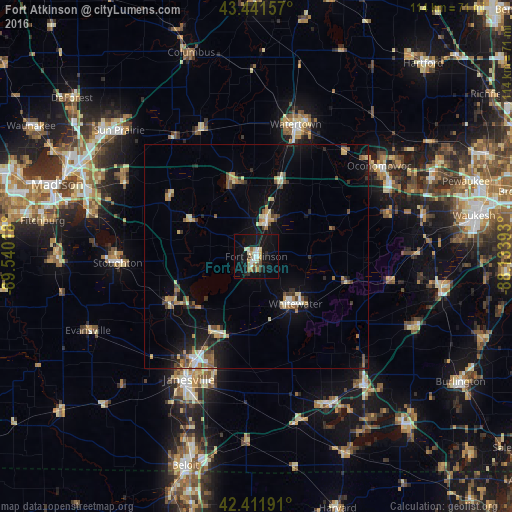
Analysis of Fort Atkinson night lights 2016
Square area 10x10 km:
 3.33%
3.33%90-99
2.54%80-89
3.97%70-79
2.22%60-69
2.06%50-59
2.38%40-49
1.9%30-39
0.79%20-29
2.38%10-19
29.37%0-9
49.05%Square area 50x50 km:
0.5%90-99
0.64%80-89
1.18%70-79
0.78%60-69
0.92%50-59
0.92%40-49
0.91%30-39
0.83%20-29
1.26%10-19
5.03%0-9
87.04%Clear (daylight) street map image can be seen on geolist.org.
Map coordinates:
43° 26' 29.7" North, 89° 32' 24.6" West
42° 55' 44" North, 88° 50' 13.4" West
42° 24' 42.9" North, 88° 8' 2.1" West
Some cities around Fort Atkinson sort by population:
• Janesville
31.1 km =19.3 mi,  208°
208°
• Watertown
30.8 km =19.1 mi,  16°
16°
• Whitewater
13.6 km =8.5 mi,  141°
141°
• Stoughton
31 km =19.3 mi,  267°
267°
• Jefferson
8.9 km =5.5 mi, 15°
• Lake Mills
18 km =11.2 mi,  340°
340°
• Milton
19.1 km =11.9 mi, 207°
• Edgerton
21.5 km =13.4 mi,  241°
241°
5253498 (p: 12,426)
Sources (retrieved 2019-11-25):
» Earth at Night: Flat Maps 2012, 2016