Jacksonville Beach night lights from space
Night Light of Jacksonville Beach (Florida) from space (United States) Src. Average luminocity for 10x10km area is 53.1337% and for 50x50km: 33.2365%.
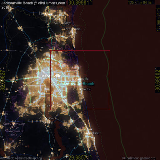
Analysis of Jacksonville Beach night lights 2016
Square area 10x10 km:
 11.54%
90-99
11.54%80-89
5.49%70-79
12.64%60-69
7.88%50-59
5.86%40-49
2.93%30-39
1.28%20-29
14.84%10-19
15.93%0-9
10.07%Square area 50x50 km:
6.88%90-99
6.94%80-89
4.16%70-79
7.43%60-69
7.54%50-59
2.5%40-49
2.98%30-39
2.23%20-29
4.95%10-19
5.67%0-9
48.71%Clear (daylight) street map image can be seen on geolist.org.
Map coordinates:
30° 53' 59.7" North, 82° 5' 46.6" West
30° 17' 40.9" North, 81° 23' 35.3" West
29° 41' 8.6" North, 80° 41' 24.1" West
Some cities around Jacksonville Beach sort by population:
• St. Johns
28 km =17.4 mi,  212°
212°
• Ponte Vedra Beach
6.2 km =3.9 mi,  173°
173°
• Fruit Cove
31.4 km =19.5 mi,  229°
229°
• Palm Valley
13 km =8.1 mi,  177°
177°
• Bellair-Meadowbrook Terrace
36 km =22.4 mi,  249°
249°
• Atlantic Beach
4.4 km =2.7 mi,  353°
353°
• Orange Park
33.3 km =20.7 mi,  244°
244°
• Neptune Beach
1.9 km =1.2 mi, 350°
4160023 (p: 23,064)
Sources (retrieved 2019-11-25):
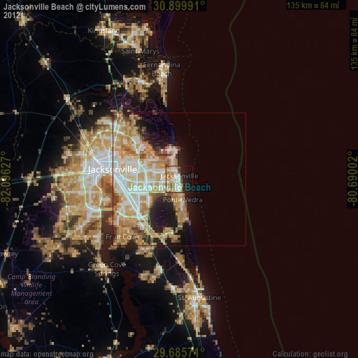
» Earth at Night: Flat Maps 2012, 2016