Fruit Cove night lights from space
Night Light of Fruit Cove (Florida) from space (United States) Src. Average luminocity for 10x10km area is 49.4337% and for 50x50km: 46.5812%.
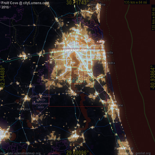
Analysis of Fruit Cove night lights 2016
Square area 10x10 km:
 1.7%
1.7%90-99
1.7%80-89
0.57%70-79
7.2%60-69
34.66%50-59
8.52%40-49
6.06%30-39
11.55%20-29
27.65%10-19
0.38%0-9
0%Square area 50x50 km:
7.99%90-99
8%80-89
4.47%70-79
10.76%60-69
12.57%50-59
4.53%40-49
5.57%30-39
5.06%20-29
8.2%10-19
13.69%0-9
19.15%Clear (daylight) street map image can be seen on geolist.org.
Map coordinates:
30° 43' 2.7" North, 82° 20' 41.6" West
30° 6' 39.9" North, 81° 38' 30.3" West
29° 30' 3.5" North, 80° 56' 19.1" West
Some cities around Fruit Cove sort by population:
• St. Johns
9.6 km =6 mi,  109°
109°
• Lakeside
12.3 km =7.6 mi,  279°
279°
• Fleming Island
7.7 km =4.8 mi,  255°
255°
• Oakleaf Plantation
19.8 km =12.3 mi,  289°
289°
• Bellair-Meadowbrook Terrace
12.3 km =7.6 mi,  307°
307°
• Orange Park
8.7 km =5.4 mi, 314°
• Asbury Lake
18.6 km =11.6 mi,  248°
248°
• Green Cove Springs
13.7 km =8.5 mi,  194°
194°
4156331 (p: 29,362)
Sources (retrieved 2019-11-25):
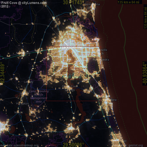
» Earth at Night: Flat Maps 2012, 2016