Ishpeming night lights from space
Night Light of Ishpeming (Michigan) from space (United States) Src. Average luminocity for 10x10km area is 14.4006% and for 50x50km: 2.2823%.
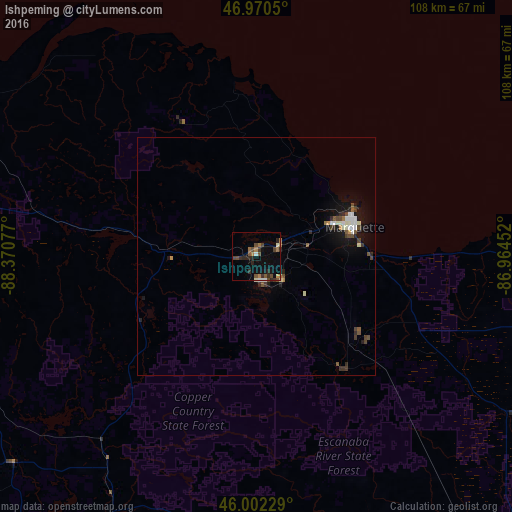
Analysis of Ishpeming night lights 2016
Square area 10x10 km:
 0.85%
0.85%90-99
1.42%80-89
0.43%70-79
1.28%60-69
3.27%50-59
2.13%40-49
4.12%30-39
3.55%20-29
4.83%10-19
4.83%0-9
73.3%Square area 50x50 km:
0.24%90-99
0.46%80-89
0.05%70-79
0.14%60-69
0.27%50-59
0.33%40-49
0.5%30-39
0.39%20-29
0.59%10-19
1.5%0-9
95.54%Clear (daylight) street map image can be seen on geolist.org.
Map coordinates:
46° 58' 13.8" North, 88° 22' 14.8" West
46° 29' 18.8" North, 87° 40' 3.5" West
46° 0' 8.2" North, 86° 57' 52.3" West
Some cities around Ishpeming sort by population:
• Marquette
21.7 km =13.5 mi,  73°
73°
• Escanaba
94.8 km =58.9 mi,  150°
150°
• Marinette
154.4 km =95.9 mi,  178°
178°
• Menominee
153.6 km =95.4 mi, 178°
• Houghton
98.3 km =61.1 mi,  315°
315°
• Iron Mountain
80.4 km =50 mi,  202°
202°
• Kingsford
83.2 km =51.7 mi, 201°
• Iron River
86.9 km =54 mi,  239°
239°
4997281 (p: 6,483)
Sources (retrieved 2019-11-25):
» Earth at Night: Flat Maps 2012, 2016