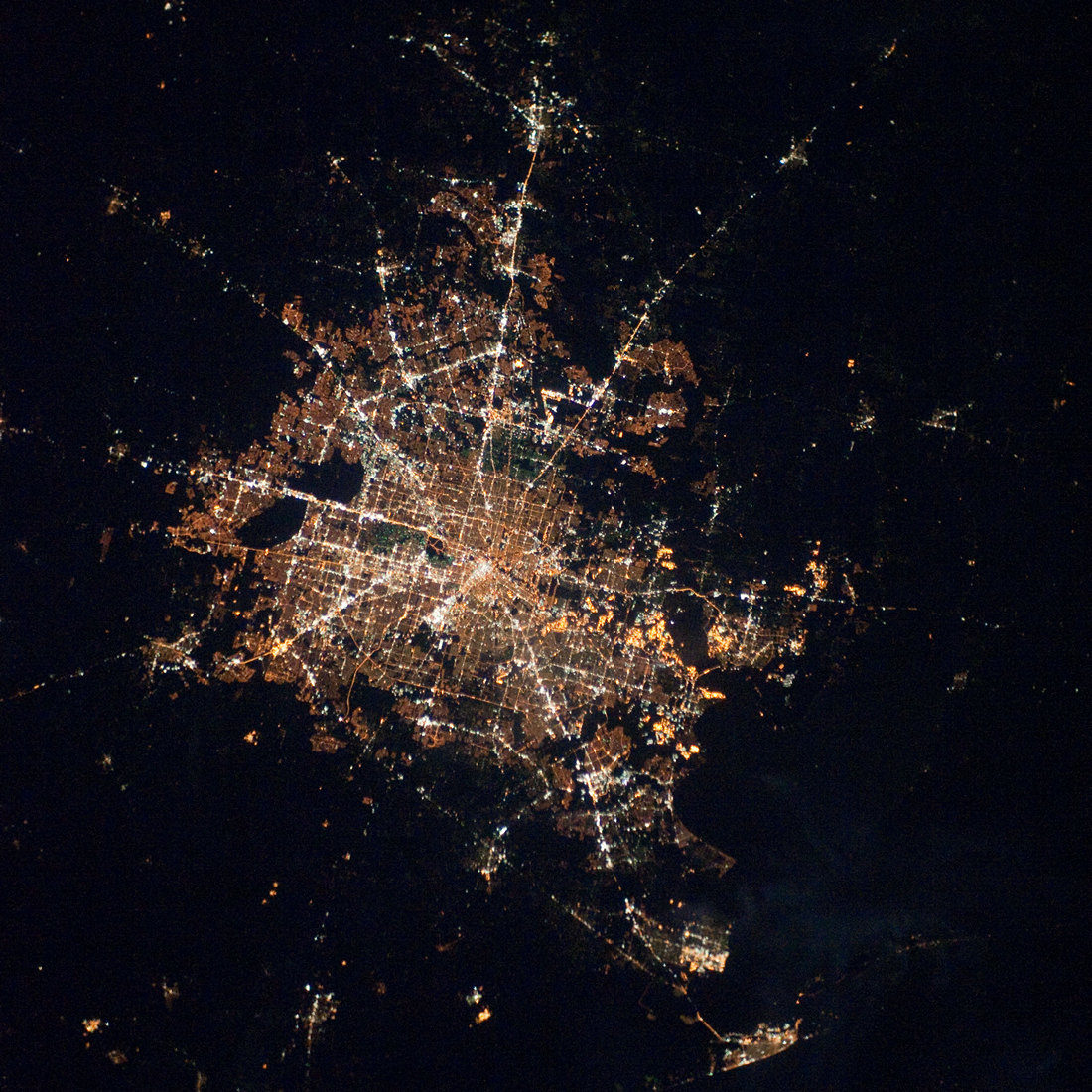
Houston night lights from space
Night Light of Houston (Texas) from space (United States) Src. Average luminocity for 10x10km area is 99.9782% and for 50x50km: 93.5038%.
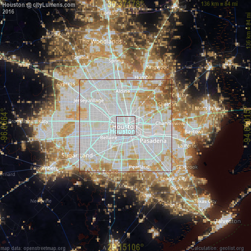
Analysis of Houston night lights 2016
Square area 10x10 km:
 97.82%
90-99
2.18%80-89
0%70-79
0%60-69
0%50-59
0%40-49
0%30-39
0%20-29
0%10-19
0%0-9
0%Square area 50x50 km:
50.33%90-99
27.22%80-89
8.89%70-79
7.77%60-69
3.59%50-59
1.01%40-49
0.87%30-39
0.32%20-29
0%10-19
0%0-9
0%Clear (daylight) street map image can be seen on geolist.org.
Map coordinates:
30° 22' 18.4" North, 96° 3' 59" West
29° 45' 47.8" North, 95° 21' 47.8" West
29° 9' 3.8" North, 94° 39' 36.5" West
Fantastic image of Houston from space taken by astronauts [src2], but I don't have information about it's orientation, scale or angle. If necessary, it was rotated manually, so North points approximately to upper direction. Click to zoom in:
Some cities around Houston sort by population:
• Pasadena
16.9 km =10.5 mi,  118°
118°
• Cloverleaf
18.5 km =11.5 mi,  84°
84°
• Bellaire
11.2 km =7 mi,  235°
235°
• South Houston
16.6 km =10.3 mi,  132°
132°
• Aldine
18.9 km =11.7 mi,  355°
355°
• West University Place
8.5 km =5.3 mi,  233°
233°
• Galena Park
13.3 km =8.3 mi,  104°
104°
• Jacinto City
12.5 km =7.8 mi,  87°
87°
4699066 (p: 2,296,224)
Sources (retrieved 2019-11-25):
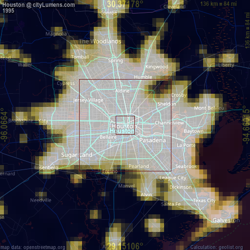
» NASA, Earths city lights 1995
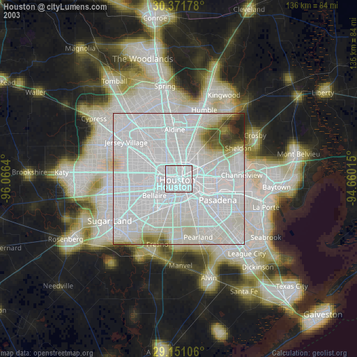
» NASA city lights 2003
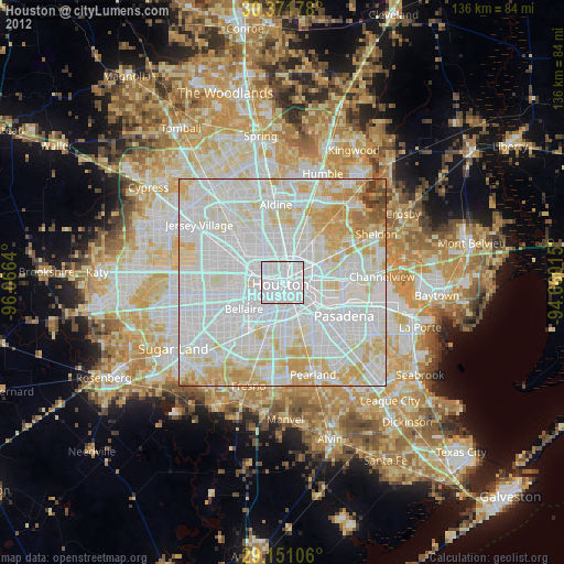
» Earth at Night: Flat Maps 2012, 2016
Src.2: NASA 2010-02-28