Cloverleaf night lights from space
Night Light of Cloverleaf (Texas) from space (United States) Src. Average luminocity for 10x10km area is 97.1071% and for 50x50km: 80.2255%.
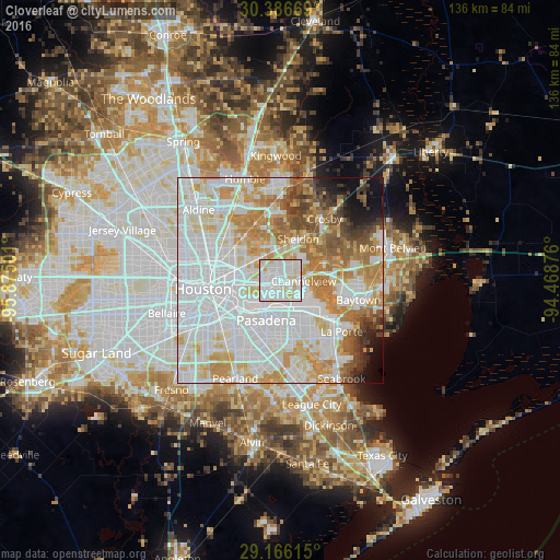
Analysis of Cloverleaf night lights 2016
Square area 10x10 km:
 49.4%
49.4%90-99
37.3%80-89
12.1%70-79
1.19%60-69
0%50-59
0%40-49
0%30-39
0%20-29
0%10-19
0%0-9
0%Square area 50x50 km:
33.89%90-99
19.6%80-89
9.65%70-79
10.16%60-69
8.52%50-59
4.51%40-49
3.45%30-39
2.72%20-29
1.85%10-19
3.28%0-9
2.35%Clear (daylight) street map image can be seen on geolist.org.
Map coordinates:
30° 23' 12.1" North, 95° 52' 30" West
29° 46' 41.8" North, 95° 10' 18.8" West
29° 9' 58.1" North, 94° 28' 7.5" West
Some cities around Cloverleaf sort by population:
• Houston
18.5 km =11.5 mi,  264°
264°
• Pasadena
10.3 km =6.4 mi,  200°
200°
• Channelview
5.5 km =3.4 mi,  92°
92°
• Deer Park
9.4 km =5.8 mi,  150°
150°
• South Houston
14.2 km =8.8 mi,  205°
205°
• Galena Park
7.5 km =4.7 mi,  228°
228°
• Jacinto City
6.1 km =3.8 mi, 258°
• Highlands
12.1 km =7.5 mi,  68°
68°
4682127 (p: 22,942)
Sources (retrieved 2019-11-25):
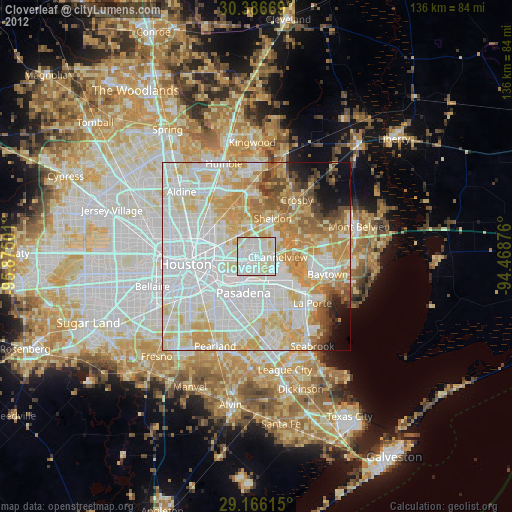
» Earth at Night: Flat Maps 2012, 2016