Hickory night lights from space
Night Light of Hickory (North Carolina) from space (United States) Src. Average luminocity for 10x10km area is 79.1748% and for 50x50km: 24.7618%.
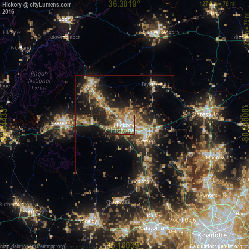
Analysis of Hickory night lights 2016
Square area 10x10 km:
 19.93%
90-99
22.9%80-89
11.54%70-79
12.06%60-69
15.91%50-59
6.64%40-49
5.94%30-39
3.67%20-29
1.4%10-19
0%0-9
0%Square area 50x50 km:
1.89%90-99
2.37%80-89
4.05%70-79
3.78%60-69
4.68%50-59
3.91%40-49
4.39%30-39
5.82%20-29
8.13%10-19
15.32%0-9
45.65%Clear (daylight) street map image can be seen on geolist.org.
Map coordinates:
36° 18' 6.8" North, 82° 2' 39.6" West
35° 43' 59.5" North, 81° 20' 28.3" West
35° 9' 37.4" North, 80° 38' 17.1" West
Some cities around Hickory sort by population:
• Lenoir
26.9 km =16.7 mi,  318°
318°
• Morganton
31 km =19.3 mi,  272°
272°
• Newton
12.9 km =8 mi,  123°
123°
• Lincolnton
29.9 km =18.6 mi,  164°
164°
• Saint Stephens
7.1 km =4.4 mi,  60°
60°
• Conover
11.4 km =7.1 mi,  105°
105°
• Sawmills
15.8 km =9.8 mi,  310°
310°
• Lake Norman of Catawba
38.1 km =23.7 mi, 115°
4470778 (p: 40,374)
Sources (retrieved 2019-11-25):
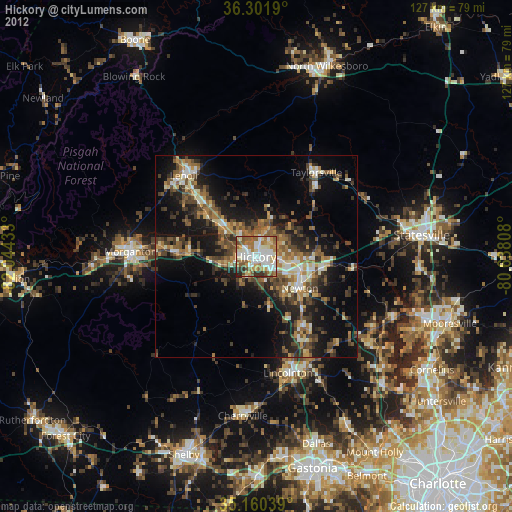
» Earth at Night: Flat Maps 2012, 2016