Hattiesburg night lights from space
Night Light of Hattiesburg (Mississippi) from space (United States) Src. Average luminocity for 10x10km area is 75.3934% and for 50x50km: 14.0176%.
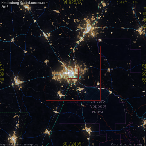
Analysis of Hattiesburg night lights 2016
Square area 10x10 km:
 19.58%
90-99
17.13%80-89
11.01%70-79
13.81%60-69
16.43%50-59
6.64%40-49
5.42%30-39
5.07%20-29
4.9%10-19
0%0-9
0%Square area 50x50 km:
1.28%90-99
1.26%80-89
2.04%70-79
2.34%60-69
2.98%50-59
1.64%40-49
2.26%30-39
3.45%20-29
3.93%10-19
7.11%0-9
71.72%Clear (daylight) street map image can be seen on geolist.org.
Map coordinates:
31° 55' 33" North, 89° 59' 36.5" West
31° 19' 37.6" North, 89° 17' 25.2" West
30° 43' 28.5" North, 88° 35' 14" West
Some cities around Hattiesburg sort by population:
• Laurel
43.5 km =27 mi,  20°
20°
• Carriere
86.2 km =53.6 mi,  203°
203°
• Bogalusa
79.9 km =49.6 mi,  221°
221°
• Petal
3.6 km =2.2 mi,  53°
53°
• Picayune
96.5 km =60 mi, 202°
• Holly Springs
65.3 km =40.6 mi,  268°
268°
• Columbia
52.7 km =32.7 mi,  260°
260°
• West Hattiesburg
8.1 km =5 mi, 263°
4429295 (p: 46,805)
Sources (retrieved 2019-11-25):
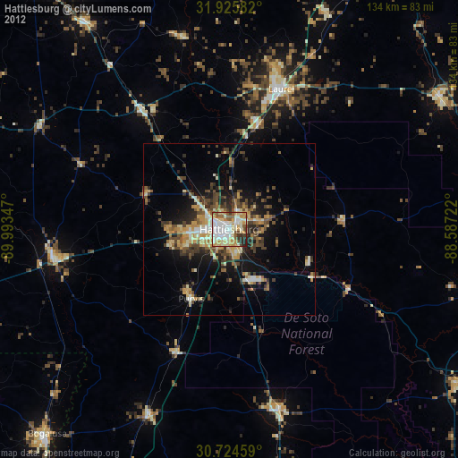
» Earth at Night: Flat Maps 2012, 2016