Columbia night lights from space
Night Light of Columbia (Mississippi) from space (United States) Src. Average luminocity for 10x10km area is 34.7179% and for 50x50km: 2.0802%.
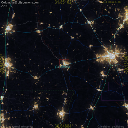
Analysis of Columbia night lights 2016
Square area 10x10 km:
 2.56%
2.56%90-99
2.38%80-89
9.71%70-79
5.13%60-69
5.31%50-59
5.13%40-49
5.86%30-39
4.03%20-29
7.51%10-19
34.07%0-9
18.32%Square area 50x50 km:
0.1%90-99
0.09%80-89
0.4%70-79
0.2%60-69
0.34%50-59
0.28%40-49
0.4%30-39
0.38%20-29
0.66%10-19
1.97%0-9
95.17%Clear (daylight) street map image can be seen on geolist.org.
Map coordinates:
31° 51' 3.7" North, 90° 32' 26.6" West
31° 15' 6.6" North, 89° 50' 15.3" West
30° 38' 55.8" North, 89° 8' 4.1" West
Some cities around Columbia sort by population:
• Hattiesburg
52.7 km =32.7 mi,  80°
80°
• Carriere
72.8 km =45.2 mi,  165°
165°
• McComb
58.5 km =36.4 mi,  269°
269°
• Brookhaven
67.8 km =42.1 mi,  302°
302°
• Bogalusa
51.2 km =31.8 mi,  181°
181°
• Petal
55.9 km =34.7 mi, 79°
• Holly Springs
15.1 km =9.4 mi, 298°
• West Hattiesburg
44.6 km =27.7 mi, 80°
4422457 (p: 6,229)
Sources (retrieved 2019-11-25):
» Earth at Night: Flat Maps 2012, 2016