Cottage Grove night lights from space
Night Light of Cottage Grove (Minnesota) from space (United States) Src. Average luminocity for 10x10km area is 47.0921% and for 50x50km: 37.5038%.
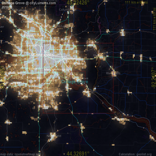
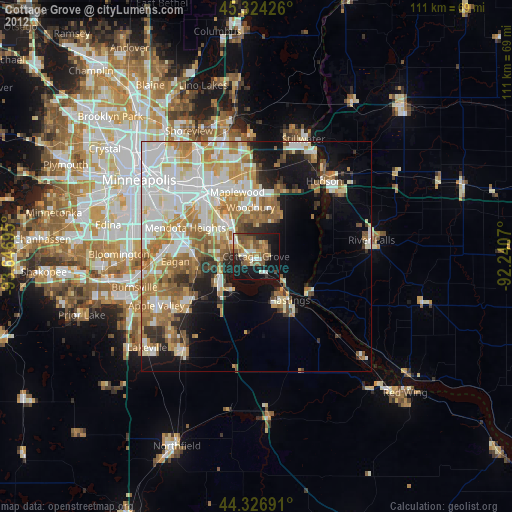
Analysis of Cottage Grove night lights 2016
Square area 10x10 km:
 5.4%
5.4%90-99
7.62%80-89
6.98%70-79
4.29%60-69
8.73%50-59
9.68%40-49
8.25%30-39
6.83%20-29
20%10-19
22.06%0-9
0.16%Square area 50x50 km:
9.81%90-99
7.89%80-89
3.7%70-79
4.8%60-69
7.87%50-59
4.45%40-49
3.5%30-39
2.64%20-29
4.61%10-19
10.82%0-9
39.9%Clear (daylight) street map image can be seen on geolist.org.
Map coordinates:
45° 19' 27.3" North, 93° 38' 49" West
44° 49' 39.9" North, 92° 56' 37.8" West
44° 19' 36.9" North, 92° 14' 26.5" West
Some cities around Cottage Grove sort by population:
• Woodbury
10.8 km =6.7 mi,  353°
353°
• Maplewood
14.5 km =9 mi,  343°
343°
• Inver Grove Heights
8.1 km =5 mi,  286°
286°
• Oakdale
15.1 km =9.4 mi, 353°
• Hastings
11.8 km =7.3 mi,  142°
142°
• South Saint Paul
10.2 km =6.3 mi,  315°
315°
• West Saint Paul
15.8 km =9.8 mi,  308°
308°
• Saint Paul Park
4.1 km =2.5 mi, 293°
5022134 (p: 35,918)
Sources (retrieved 2019-11-25):
» Earth at Night: Flat Maps 2012, 2016