Harahan night lights from space
Night Light of Harahan (Louisiana) from space (United States) Src. Average luminocity for 10x10km area is 88.3712% and for 50x50km: 40.8792%.
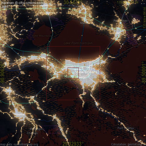
Analysis of Harahan night lights 2016
Square area 10x10 km:
 40.34%
90-99
22.73%80-89
13.45%70-79
9.66%60-69
4.55%50-59
3.03%40-49
4.17%30-39
2.08%20-29
0%10-19
0%0-9
0%Square area 50x50 km:
15.04%90-99
7.32%80-89
4.97%70-79
4.24%60-69
4.39%50-59
2.93%40-49
4.73%30-39
4.37%20-29
5.4%10-19
9.82%0-9
36.79%Clear (daylight) street map image can be seen on geolist.org.
Map coordinates:
30° 32' 52.4" North, 90° 54' 22.5" West
29° 56' 25.7" North, 90° 12' 11.3" West
29° 19' 45.6" North, 89° 30' 0" West
Some cities around Harahan sort by population:
• Metairie Terrace
5.7 km =3.5 mi,  41°
41°
• Metairie
6.9 km =4.3 mi, 44°
• Kenner
7 km =4.3 mi,  328°
328°
• River Ridge
2.5 km =1.6 mi, 331°
• Jefferson
5.6 km =3.5 mi,  59°
59°
• Waggaman
2.6 km =1.6 mi,  197°
197°
• Westwego
7 km =4.3 mi,  123°
123°
• Bridge City
3.3 km =2.1 mi,  104°
104°
4326916 (p: 9,350)
Sources (retrieved 2019-11-25):
» Earth at Night: Flat Maps 2012, 2016