Griffin night lights from space
Night Light of Griffin (Georgia) from space (United States) Src. Average luminocity for 10x10km area is 72.0962% and for 50x50km: 30.2383%.
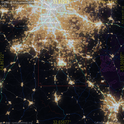
Analysis of Griffin night lights 2016
Square area 10x10 km:
 12.76%
90-99
17.66%80-89
9.44%70-79
18.71%60-69
11.36%50-59
11.01%40-49
6.64%30-39
9.79%20-29
2.62%10-19
0%0-9
0%Square area 50x50 km:
2.29%90-99
2.68%80-89
3.39%70-79
6.47%60-69
6.31%50-59
6.67%40-49
6.95%30-39
7.86%20-29
7.07%10-19
11.62%0-9
38.69%Clear (daylight) street map image can be seen on geolist.org.
Map coordinates:
33° 49' 58.2" North, 84° 58' 2" West
33° 14' 48.4" North, 84° 15' 50.7" West
32° 39' 24.4" North, 83° 33' 39.5" West
Some cities around Griffin sort by population:
• Stockbridge
33.2 km =20.6 mi,  4°
4°
• McDonough
24.8 km =15.4 mi,  26°
26°
• Fayetteville
28.6 km =17.8 mi,  321°
321°
• Irondale
27.5 km =17.1 mi,  341°
341°
• Hampton
15.7 km =9.8 mi,  353°
353°
• Barnesville
23.6 km =14.7 mi,  154°
154°
• Lovejoy
21.6 km =13.4 mi, 347°
• Locust Grove
18.1 km =11.2 mi,  52°
52°
4198322 (p: 23,211)
Sources (retrieved 2019-11-25):
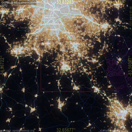
» Earth at Night: Flat Maps 2012, 2016