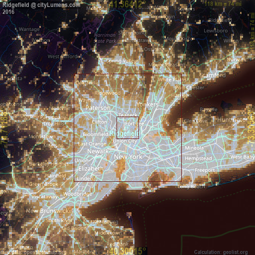
Ridgefield night lights from space
Night Light of Ridgefield (New Jersey) from space (United States) Src. Average luminocity for 10x10km area is 97.8163% and for 50x50km: 87.6776%.
Analysis of Ridgefield night lights 2016
Square area 10x10 km:
 52.38%
90-99
39.29%80-89
7.48%70-79
0.85%60-69
0%50-59
0%40-49
0%30-39
0%20-29
0%10-19
0%0-9
0%Square area 50x50 km:
45.29%90-99
20.01%80-89
7.08%70-79
9.29%60-69
9.47%50-59
4.05%40-49
1.76%30-39
1.77%20-29
1.15%10-19
0.13%0-9
0%Clear (daylight) street map image can be seen on geolist.org.
Map coordinates:
41° 21' 50.8" North, 74° 42' 42.8" West
40° 50' 3.4" North, 74° 0' 31.5" West
40° 18' 0.5" North, 73° 18' 20.3" West
Some cities around Ridgefield sort by population:
• North Bergen
3.3 km =2.1 mi,  184°
184°
• Fort Lee
3.7 km =2.3 mi,  60°
60°
• Cliffside Park
2.3 km =1.4 mi,  128°
128°
• Palisades Park
1.8 km =1.1 mi,  31°
31°
• Fairview
2.5 km =1.6 mi,  161°
161°
• Edgewater
2.9 km =1.8 mi,  106°
106°
• Little Ferry
3.5 km =2.2 mi,  306°
306°
• Leonia
3.5 km =2.2 mi, 29°
5103254 (p: 11,373)
Sources (retrieved 2019-11-25):
» Earth at Night: Flat Maps 2012, 2016