Forrest City night lights from space
Night Light of Forrest City (Arkansas) from space (United States) Src. Average luminocity for 10x10km area is 46.792% and for 50x50km: 4.1177%.
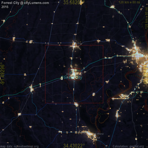
Analysis of Forrest City night lights 2016
Square area 10x10 km:
 5.59%
5.59%90-99
10.49%80-89
7.69%70-79
4.37%60-69
7.34%50-59
7.87%40-49
5.59%30-39
9.09%20-29
9.97%10-19
30.07%0-9
1.92%Square area 50x50 km:
0.32%90-99
0.64%80-89
0.61%70-79
0.31%60-69
0.47%50-59
0.55%40-49
0.49%30-39
1.23%20-29
0.83%10-19
3.29%0-9
91.27%Clear (daylight) street map image can be seen on geolist.org.
Map coordinates:
35° 34' 55.3" North, 91° 29' 34.7" West
35° 0' 29.3" North, 90° 47' 23.4" West
34° 25' 48.8" North, 90° 5' 12.2" West
Some cities around Forrest City sort by population:
• New South Memphis
67.3 km =41.8 mi,  82°
82°
• Horn Lake
69 km =42.9 mi,  94°
94°
• West Memphis
57.2 km =35.5 mi,  74°
74°
• Marion
58.6 km =36.4 mi, 66°
• Helena-West Helena
56.3 km =35 mi,  161°
161°
• Wynne
24.1 km =15 mi,  0°
0°
• West Helena
52.6 km =32.7 mi,  165°
165°
• Helena
56.2 km =34.9 mi, 161°
4111382 (p: 14,672)
Sources (retrieved 2019-11-25):
» Earth at Night: Flat Maps 2012, 2016