Dayton night lights from space
Night Light of Dayton (Nevada) from space (United States) Src. Average luminocity for 10x10km area is 11.7262% and for 50x50km: 6.4292%.
Analysis of Dayton night lights 2016
Square area 10x10 km:
 0%
0%90-99
0%80-89
0.17%70-79
2.89%60-69
4.25%50-59
4.93%40-49
1.02%30-39
0%20-29
1.53%10-19
1.19%0-9
84.01%Square area 50x50 km:
0.61%90-99
0.73%80-89
0.41%70-79
1.32%60-69
0.99%50-59
1.38%40-49
0.78%30-39
1.02%20-29
1.48%10-19
4.76%0-9
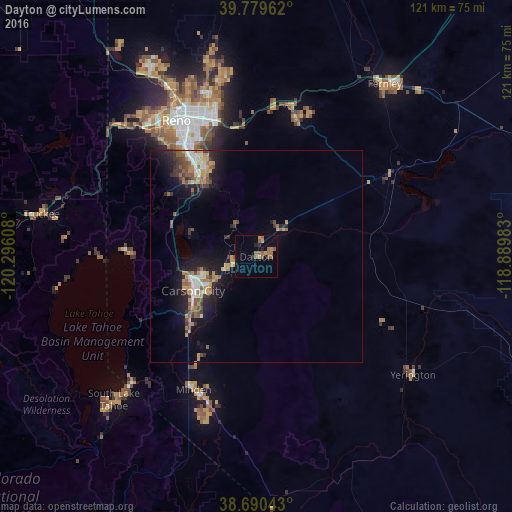
86.52%Clear (daylight) street map image can be seen on geolist.org.
Map coordinates:
39° 46' 46.6" North, 120° 17' 45.9" West
39° 14' 13.7" North, 119° 35' 34.6" West
38° 41' 25.5" North, 118° 53' 23.4" West
Some cities around Dayton sort by population:
• Reno
37.7 km =23.4 mi,  329°
329°
• Sparks
35.8 km =22.2 mi,  337°
337°
• Carson City
17.1 km =10.6 mi,  241°
241°
• Incline Village
32.8 km =20.4 mi,  272°
272°
• Johnson Lane
23.8 km =14.8 mi,  207°
207°
• Gardnerville
35.6 km =22.1 mi,  202°
202°
• Indian Hills
23.5 km =14.6 mi,  224°
224°
• Silver Springs
37.4 km =23.2 mi,  57°
57°
5502732 (p: 8,964)
Sources (retrieved 2019-11-25):
» Earth at Night: Flat Maps 2012, 2016