Farmington Hills night lights from space
Night Light of Farmington Hills (Michigan) from space (United States) Src. Average luminocity for 10x10km area is 79.8476% and for 50x50km: 68.9403%.
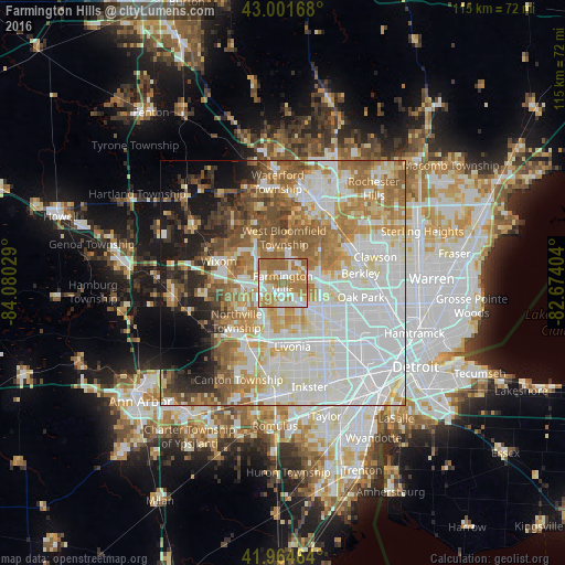
Analysis of Farmington Hills night lights 2016
Square area 10x10 km:
 16.03%
90-99
23.49%80-89
5.87%70-79
15.87%60-69
35.4%50-59
3.33%40-49
0%30-39
0%20-29
0%10-19
0%0-9
0%Square area 50x50 km:
23.42%90-99
17.01%80-89
6.86%70-79
7.92%60-69
10.97%50-59
8.32%40-49
4.83%30-39
3.35%20-29
4.65%10-19
7.27%0-9
5.4%Clear (daylight) street map image can be seen on geolist.org.
Map coordinates:
43° 0' 6" North, 84° 4' 49" West
42° 29' 7.1" North, 83° 22' 37.8" West
41° 57' 52.7" North, 82° 40' 26.5" West
Some cities around Farmington Hills sort by population:
• Livonia
13.2 km =8.2 mi,  171°
171°
• Southfield
12.8 km =8 mi,  95°
95°
• West Bloomfield Township
9.3 km =5.8 mi,  356°
356°
• Novi
8.1 km =5 mi,  266°
266°
• Redford
13.1 km =8.1 mi,  149°
149°
• Beverly Hills
13.3 km =8.3 mi,  71°
71°
• Walled Lake
10.3 km =6.4 mi,  304°
304°
• Northville
10.6 km =6.6 mi,  235°
235°
4992523 (p: 81,330)
Sources (retrieved 2019-11-25):
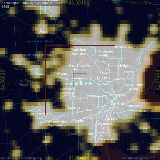
» NASA, Earths city lights 1995
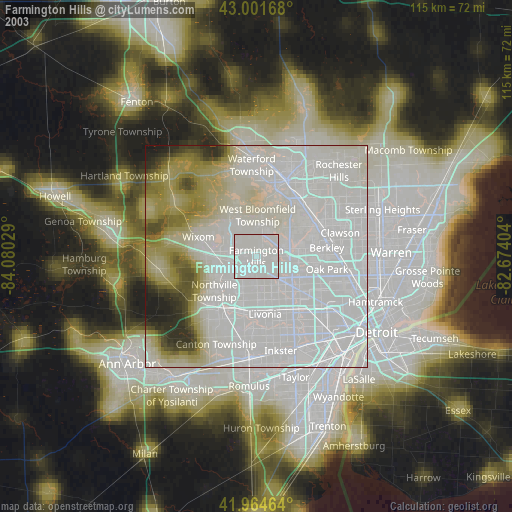
» NASA city lights 2003
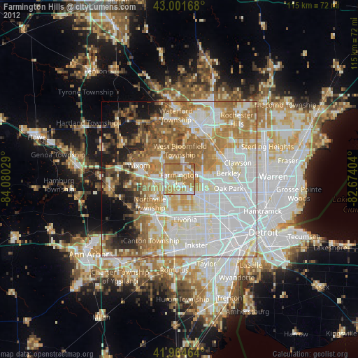
» Earth at Night: Flat Maps 2012, 2016