Enterprise night lights from space
Night Light of Enterprise (Alabama) from space (United States) Src. Average luminocity for 10x10km area is 49.0105% and for 50x50km: 8.6902%.
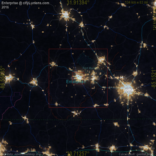
Analysis of Enterprise night lights 2016
Square area 10x10 km:
 7.87%
7.87%90-99
7.17%80-89
5.77%70-79
10.31%60-69
12.76%50-59
4.2%40-49
6.64%30-39
4.37%20-29
12.76%10-19
23.43%0-9
4.72%Square area 50x50 km:
0.5%90-99
0.62%80-89
0.9%70-79
1.66%60-69
1.98%50-59
0.92%40-49
1.68%30-39
1.79%20-29
2.49%10-19
7.53%0-9
79.92%Clear (daylight) street map image can be seen on geolist.org.
Map coordinates:
31° 54' 50.2" North, 86° 33' 30.1" West
31° 18' 54.6" North, 85° 51' 18.8" West
30° 42' 45.3" North, 85° 9' 7.6" West
Some cities around Enterprise sort by population:
• Dothan
45.3 km =28.1 mi,  103°
103°
• Troy
55.9 km =34.7 mi,  348°
348°
• Ozark
25.9 km =16.1 mi,  51°
51°
• Marianna
84.8 km =52.7 mi,  135°
135°
• Andalusia
59.6 km =37 mi,  269°
269°
• Opp
38.2 km =23.7 mi,  264°
264°
• DeFuniak Springs
70.6 km =43.9 mi,  200°
200°
• Daleville
13.5 km =8.4 mi,  92°
92°
4060791 (p: 27,978)
Sources (retrieved 2019-11-25):
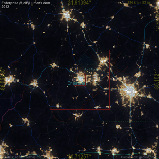
» Earth at Night: Flat Maps 2012, 2016