Emporia night lights from space
Night Light of Emporia (Virginia) from space (United States) Src. Average luminocity for 10x10km area is 27.7802% and for 50x50km: 4.1338%.
Analysis of Emporia night lights 2016
Square area 10x10 km:
 2.75%
2.75%90-99
3.11%80-89
1.47%70-79
6.04%60-69
6.04%50-59
5.31%40-49
2.75%30-39
5.49%20-29
4.4%10-19
23.99%0-9
38.64%Square area 50x50 km:
0.29%90-99
0.27%80-89
0.38%70-79
0.72%60-69
0.64%50-59
0.7%40-49
0.57%30-39
1.1%20-29
1.29%10-19
2.95%0-9
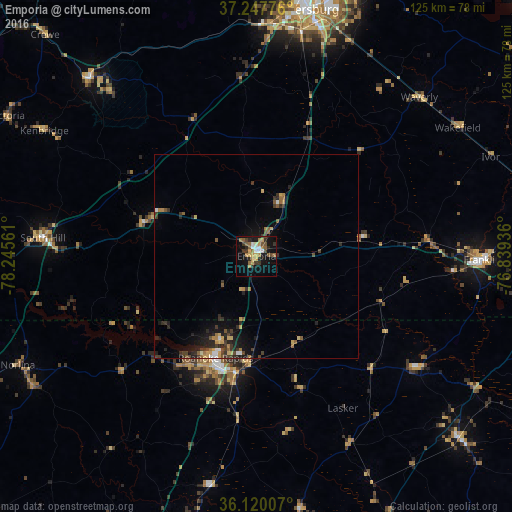
91.09%Clear (daylight) street map image can be seen on geolist.org.
Map coordinates:
37° 14' 51.9" North, 78° 14' 44.2" West
36° 41' 9.5" North, 77° 32' 32.9" West
36° 7' 12.3" North, 76° 50' 21.7" West
Some cities around Emporia sort by population:
• Petersburg
61.5 km =38.2 mi,  11°
11°
• Hopewell
72.4 km =45 mi,  18°
18°
• Chester
75.1 km =46.7 mi, 6°
• Colonial Heights
65.8 km =40.9 mi, 10°
• Roanoke Rapids
26.9 km =16.7 mi,  201°
201°
• Franklin
55.3 km =34.4 mi,  90°
90°
• Ettrick
62.4 km =38.8 mi, 9°
• Bellwood
82.3 km =51.1 mi, 6°
4757673 (p: 5,496)
Sources (retrieved 2019-11-25):
» Earth at Night: Flat Maps 2012, 2016