Danville night lights from space
Night Light of Danville (California) from space (United States) Src. Average luminocity for 10x10km area is 36.5816% and for 50x50km: 40.7399%.
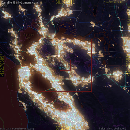
Analysis of Danville night lights 2016
Square area 10x10 km:
 2.04%
2.04%90-99
3.91%80-89
0.17%70-79
3.06%60-69
6.63%50-59
13.27%40-49
15.99%30-39
6.29%20-29
13.1%10-19
26.53%0-9
9.01%Square area 50x50 km:
7.93%90-99
7.64%80-89
2%70-79
5.11%60-69
6.75%50-59
8.34%40-49
6.79%30-39
4.8%20-29
13.08%10-19
17.02%0-9
20.53%Clear (daylight) street map image can be seen on geolist.org.
Map coordinates:
38° 22' 29.7" North, 122° 42' 11.1" West
37° 49' 17.7" North, 121° 59' 59.9" West
37° 15' 50.7" North, 121° 17' 48.6" West
Some cities around Danville sort by population:
• San Ramon
5 km =3.1 mi,  157°
157°
• Walnut Creek
11 km =6.8 mi,  328°
328°
• Lafayette
12.6 km =7.8 mi,  304°
304°
• Moraga
11.5 km =7.1 mi,  277°
277°
• Alamo
4.3 km =2.7 mi,  318°
318°
• Blackhawk
8.1 km =5 mi,  90°
90°
• Waldon
12.6 km =7.8 mi,  337°
337°
• Saranap
9.7 km =6 mi, 316°
5341531 (p: 44,400)
Sources (retrieved 2019-11-25):
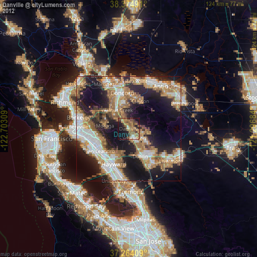
» Earth at Night: Flat Maps 2012, 2016