Cypress night lights from space
Night Light of Cypress (Texas) from space (United States) Src. Average luminocity for 10x10km area is 87.8769% and for 50x50km: 64.677%.
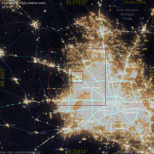
Analysis of Cypress night lights 2016
Square area 10x10 km:
 23.48%
90-99
31.82%80-89
19.7%70-79
13.64%60-69
7.2%50-59
3.79%40-49
0.38%30-39
0%20-29
0%10-19
0%0-9
0%Square area 50x50 km:
20.65%90-99
18.46%80-89
9.18%70-79
8.39%60-69
5.35%50-59
4.56%40-49
5.5%30-39
4.37%20-29
3.24%10-19
7.08%0-9
13.22%Clear (daylight) street map image can be seen on geolist.org.
Map coordinates:
30° 34' 34.9" North, 96° 24' 1.1" West
29° 58' 8.8" North, 95° 41' 49.8" West
29° 21' 29.3" North, 94° 59' 38.6" West
Some cities around Cypress sort by population:
• Alief
30.3 km =18.8 mi,  161°
161°
• The Woodlands
29 km =18 mi,  43°
43°
• Spring
29.6 km =18.4 mi,  65°
65°
• Cinco Ranch
26.3 km =16.3 mi,  192°
192°
• Katy
23.8 km =14.8 mi,  211°
211°
• Aldine
30.8 km =19.1 mi,  97°
97°
• Tomball
16.2 km =10.1 mi,  28°
28°
• Jersey Village
15.8 km =9.8 mi,  124°
124°
4684724 (p: 46,025)
Sources (retrieved 2019-11-25):
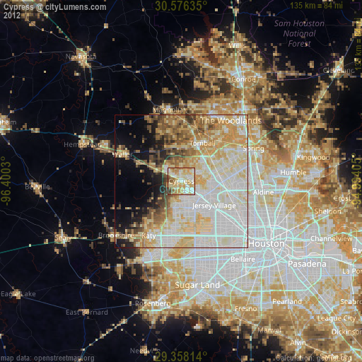
» Earth at Night: Flat Maps 2012, 2016