Maplewood night lights from space
Night Light of Maplewood (Minnesota) from space (United States) Src. Average luminocity for 10x10km area is 83.5984% and for 50x50km: 48.2323%.
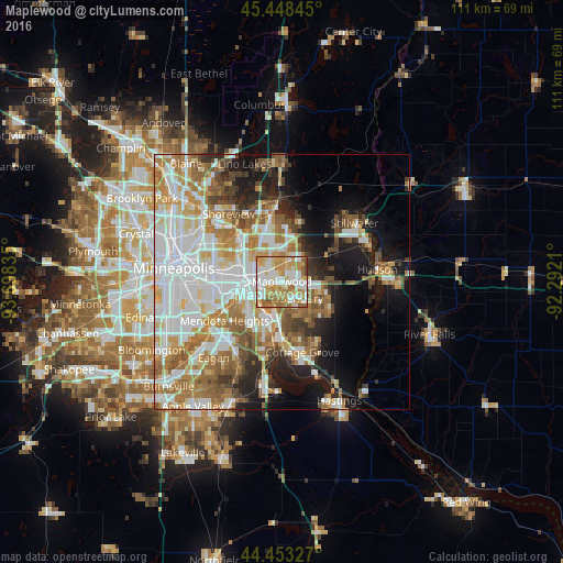
Analysis of Maplewood night lights 2016
Square area 10x10 km:
 20.95%
90-99
24.6%80-89
11.11%70-79
20.16%60-69
18.1%50-59
3.81%40-49
1.27%30-39
0%20-29
0%10-19
0%0-9
0%Square area 50x50 km:
13.91%90-99
10.88%80-89
4.71%70-79
5.99%60-69
8.88%50-59
5.64%40-49
4.7%30-39
2.92%20-29
5.39%10-19
10.9%0-9
26.08%Clear (daylight) street map image can be seen on geolist.org.
Map coordinates:
45° 26' 54.4" North, 93° 41' 54.1" West
44° 57' 10.9" North, 92° 59' 42.8" West
44° 27' 11.8" North, 92° 17' 31.6" West
Some cities around Maplewood sort by population:
• Saint Paul
7.8 km =4.8 mi,  262°
262°
• Woodbury
4.3 km =2.7 mi,  138°
138°
• Oakdale
2.6 km =1.6 mi,  64°
64°
• South Saint Paul
7.4 km =4.6 mi,  205°
205°
• West Saint Paul
9.3 km =5.8 mi,  243°
243°
• North Saint Paul
6.6 km =4.1 mi,  2°
2°
• Little Canada
11 km =6.8 mi,  318°
318°
• Lake Elmo
10.3 km =6.4 mi, 62°
5036588 (p: 40,567)
Sources (retrieved 2019-11-25):
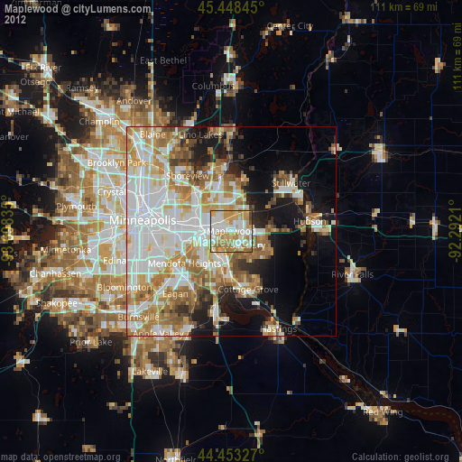
» Earth at Night: Flat Maps 2012, 2016