Hornell night lights from space
Night Light of Hornell (New York) from space (United States) Src. Average luminocity for 10x10km area is 11.1727% and for 50x50km: 1.2287%.
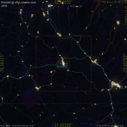
Analysis of Hornell night lights 2016
Square area 10x10 km:
 1.06%
1.06%90-99
1.36%80-89
0%70-79
2.12%60-69
4.09%50-59
2.12%40-49
0.15%30-39
1.21%20-29
0.3%10-19
1.97%0-9
85.61%Square area 50x50 km:
0.09%90-99
0.17%80-89
0.11%70-79
0.2%60-69
0.25%50-59
0.23%40-49
0.16%30-39
0.2%20-29
0.14%10-19
0.15%0-9
98.29%Clear (daylight) street map image can be seen on geolist.org.
Map coordinates:
42° 50' 43.9" North, 78° 21' 51.2" West
42° 19' 40.3" North, 77° 39' 40" West
41° 48' 21.2" North, 76° 57' 28.7" West
Some cities around Hornell sort by population:
• Olean
69.2 km =43 mi,  246°
246°
• Corning
54 km =33.6 mi,  112°
112°
• Canandaigua
68 km =42.3 mi,  26°
26°
• Geneseo
53.6 km =33.3 mi,  346°
346°
• Horseheads
71.5 km =44.4 mi,  104°
104°
• Bath
28.2 km =17.5 mi,  87°
87°
• Big Flats
63.3 km =39.3 mi, 109°
• Penn Yan
62 km =38.5 mi,  53°
53°
5121283 (p: 8,336)
Sources (retrieved 2019-11-25):
» Earth at Night: Flat Maps 2012, 2016