Corinth night lights from space
Night Light of Corinth (Texas) from space (United States) Src. Average luminocity for 10x10km area is 68.2766% and for 50x50km: 51.972%.
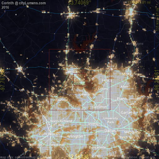
Analysis of Corinth night lights 2016
Square area 10x10 km:
 9.71%
9.71%90-99
9.71%80-89
12.45%70-79
11.9%60-69
17.58%50-59
21.79%40-49
8.97%30-39
4.95%20-29
2.93%10-19
0%0-9
0%Square area 50x50 km:
12.96%90-99
11.76%80-89
7.25%70-79
7.3%60-69
7.57%50-59
6.71%40-49
5.33%30-39
5.41%20-29
5.62%10-19
8.54%0-9
21.53%Clear (daylight) street map image can be seen on geolist.org.
Map coordinates:
33° 44' 26.5" North, 97° 46' 4.3" West
33° 9' 14.4" North, 97° 3' 53" West
32° 33' 48.2" North, 96° 21' 41.8" West
Some cities around Corinth sort by population:
• Denton
9.3 km =5.8 mi,  316°
316°
• Lewisville
13.7 km =8.5 mi,  151°
151°
• Flower Mound
15.8 km =9.8 mi,  190°
190°
• The Colony
18.1 km =11.2 mi,  113°
113°
• Little Elm
11.9 km =7.4 mi,  85°
85°
• Highland Village
7.1 km =4.4 mi,  166°
166°
• Lake Dallas
5.3 km =3.3 mi,  136°
136°
• Lantana
9 km =5.6 mi,  218°
218°
4683317 (p: 20,998)
Sources (retrieved 2019-11-25):
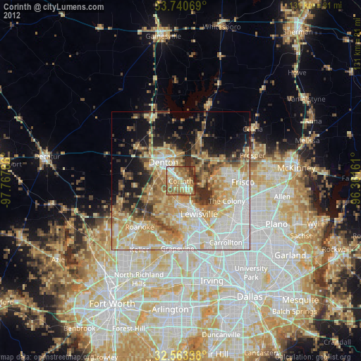
» Earth at Night: Flat Maps 2012, 2016