Clinton night lights from space
Night Light of Clinton (Utah) from space (United States) Src. Average luminocity for 10x10km area is 71.1737% and for 50x50km: 15.3683%.
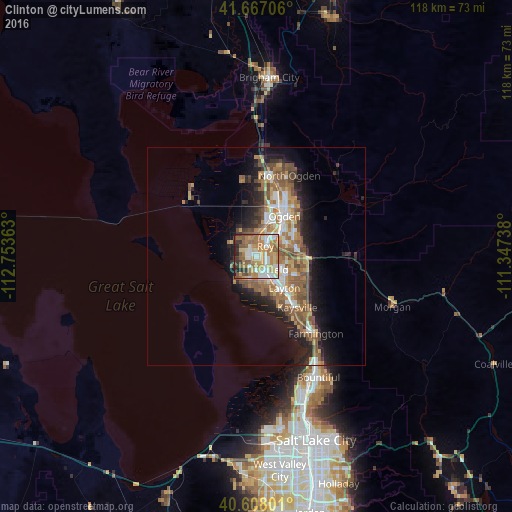
Analysis of Clinton night lights 2016
Square area 10x10 km:
 12.18%
90-99
16.72%80-89
8.77%70-79
16.23%60-69
18.02%50-59
11.69%40-49
4.55%30-39
7.14%20-29
4.06%10-19
0.65%0-9
0%Square area 50x50 km:
2.07%90-99
2.23%80-89
1.34%70-79
2.5%60-69
3.35%50-59
3.86%40-49
2.24%30-39
1.68%20-29
3.48%10-19
7.1%0-9
70.14%Clear (daylight) street map image can be seen on geolist.org.
Map coordinates:
41° 40' 1.4" North, 112° 45' 13.1" West
41° 8' 22.8" North, 112° 3' 1.8" West
40° 36' 28.8" North, 111° 20' 50.6" West
Some cities around Clinton sort by population:
• Roy
3.2 km =2 mi,  39°
39°
• Clearfield
3.8 km =2.4 mi,  147°
147°
• Syracuse
5.7 km =3.5 mi,  191°
191°
• West Haven
7 km =4.3 mi,  359°
359°
• West Point
3.7 km =2.3 mi,  229°
229°
• Riverdale
5.7 km =3.5 mi, 43°
• Hooper
6.6 km =4.1 mi,  294°
294°
• Sunset
1.7 km =1.1 mi,  102°
102°
5773001 (p: 21,399)
Sources (retrieved 2019-11-25):
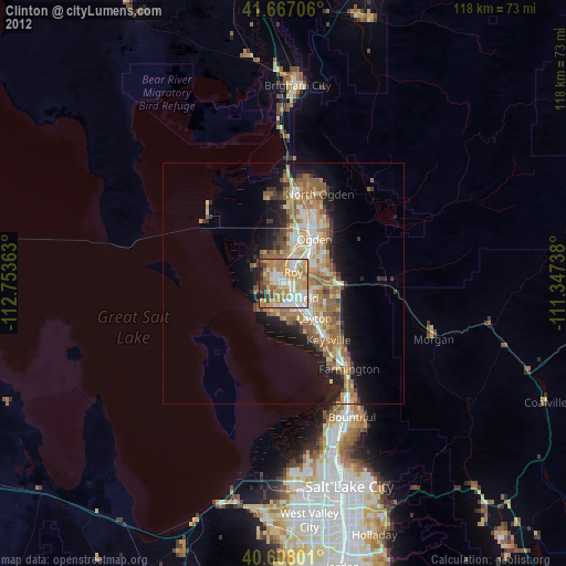
» Earth at Night: Flat Maps 2012, 2016