Cartersville night lights from space
Night Light of Cartersville (Georgia) from space (United States) Src. Average luminocity for 10x10km area is 69.8828% and for 50x50km: 30.4173%.
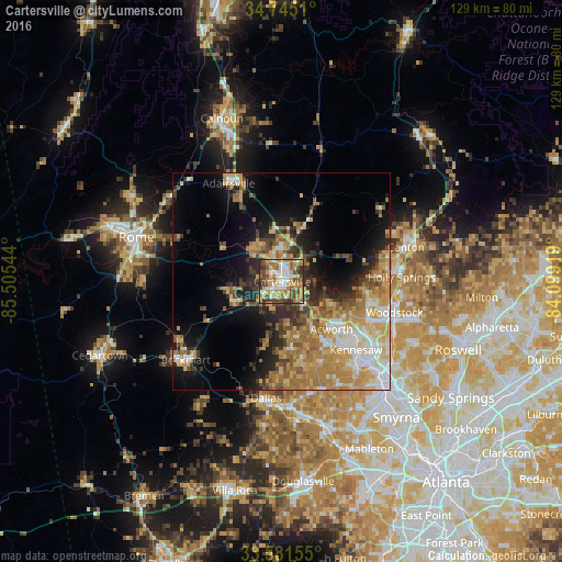
Analysis of Cartersville night lights 2016
Square area 10x10 km:
 10.99%
90-99
13.19%80-89
13.37%70-79
15.93%60-69
13.37%50-59
7.51%40-49
15.93%30-39
8.24%20-29
1.47%10-19
0%0-9
0%Square area 50x50 km:
3.87%90-99
4.13%80-89
5.33%70-79
6.69%60-69
6.63%50-59
3.67%40-49
3.72%30-39
3.82%20-29
5.28%10-19
10.18%0-9
46.69%Clear (daylight) street map image can be seen on geolist.org.
Map coordinates:
34° 44' 42.4" North, 85° 30' 19.6" West
34° 9' 55.2" North, 84° 48' 8.3" West
33° 34' 53.6" North, 84° 5' 57.1" West
Some cities around Cartersville sort by population:
• Marietta
33.2 km =20.6 mi,  135°
135°
• Rome
34.8 km =21.6 mi,  287°
287°
• Kennesaw
23.3 km =14.5 mi,  132°
132°
• Woodstock
27 km =16.8 mi,  105°
105°
• Canton
29.7 km =18.5 mi,  74°
74°
• Acworth
15.9 km =9.9 mi, 133°
• Dallas
27.1 km =16.8 mi,  187°
187°
• Holly Springs
27.7 km =17.2 mi,  88°
88°
4186531 (p: 20,319)
Sources (retrieved 2019-11-25):
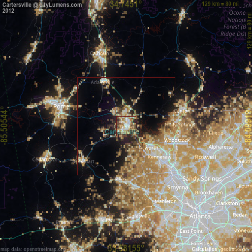
» Earth at Night: Flat Maps 2012, 2016