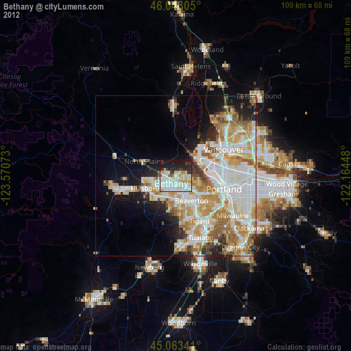
Bethany night lights from space
Night Light of Bethany (Oregon) from space (United States) Src. Average luminocity for 10x10km area is 66.3909% and for 50x50km: 37.0313%.
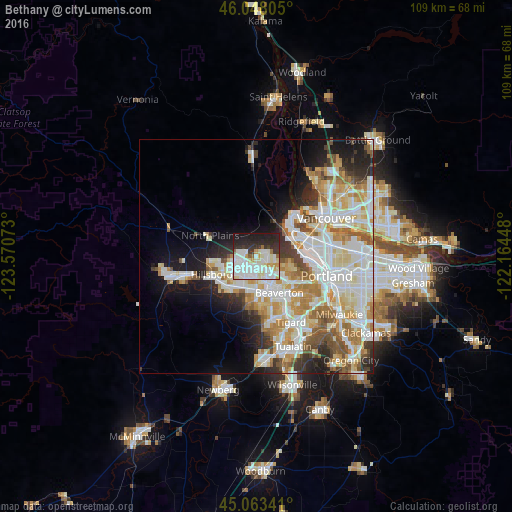
Analysis of Bethany night lights 2016
Square area 10x10 km:
 22.42%
90-99
24.24%80-89
7.12%70-79
4.39%60-69
1.21%50-59
2.42%40-49
0.3%30-39
8.33%20-29
17.12%10-19
12.42%0-9
0%Square area 50x50 km:
9.96%90-99
10.06%80-89
4.73%70-79
4.97%60-69
4.1%50-59
3.49%40-49
2.48%30-39
2.89%20-29
5.16%10-19
8.24%0-9
43.92%Clear (daylight) street map image can be seen on geolist.org.
Map coordinates:
46° 2' 53" North, 123° 34' 14.6" West
45° 33' 28.4" North, 122° 52' 3.4" West
45° 3' 48.3" North, 122° 9' 52.1" West
Some cities around Bethany sort by population:
• Beaverton
9.3 km =5.8 mi,  147°
147°
• Aloha
7.1 km =4.4 mi,  179°
179°
• Cedar Mill
5.7 km =3.5 mi,  129°
129°
• Oak Hills
2.8 km =1.7 mi, 132°
• Rockcreek
1.1 km =0.7 mi,  220°
220°
• Cedar Hills
8 km =5 mi,  137°
137°
• West Haven-Sylvan
9 km =5.6 mi,  120°
120°
• West Haven
8.9 km =5.5 mi, 120°
5713759 (p: 20,646)
Sources (retrieved 2019-11-25):
» Earth at Night: Flat Maps 2012, 2016